


What did you do today hiking? (Page 2 of 2)


|
Spread Eagle Mountain and Hopkins Mountain. Great views of the ADK high peaks. Attached File Attached File Attached File |
"anarcho-tyranny"—They refuse to control real criminals so They control the innocent.
|
Owl’s Head Mtn, Keene, NY. A lot of fun and great views for a short hike. Attached File |
"anarcho-tyranny"—They refuse to control real criminals so They control the innocent.


|
Hiked the Burroughs Range as a traverse, Wittenberg, Cornell, Slide, in the Catskills. Attached File Attached File Attached File |
"anarcho-tyranny"—They refuse to control real criminals so They control the innocent.
|
Saturday I was going to hike up 1109m Boundary Bald Mtn north of town to do a gear test overnighter (and hopefully see the aurora), but the logging road that leads to the trail was icy with a dusting of snow and my Jeep’s front driveshaft is out. So I headed about 20 miles south to 1133m Coburn Mtn and hiked up it instead. Temp was around 25F, the overnight forecast was for clear skies, lows around 18F, and wind chill around 7F. Of course it got cloudy and stayed that way until the middle of Sunday morning. I swear everything outside a 20 mile radius from Jackman was crystal clear. The main trail up Coburn is a snowmobile trail that goes to the summit (the highest groomed trail in the state.) It’s a short trail, only about 1.75 miles. A mile in a very primitive hiking trail branches off into the woods, cutting the length to 1.25 miles. It’s very steep, though, with 450’ el gain in 1/4 mile and 200’ in the last 1/16 mile. 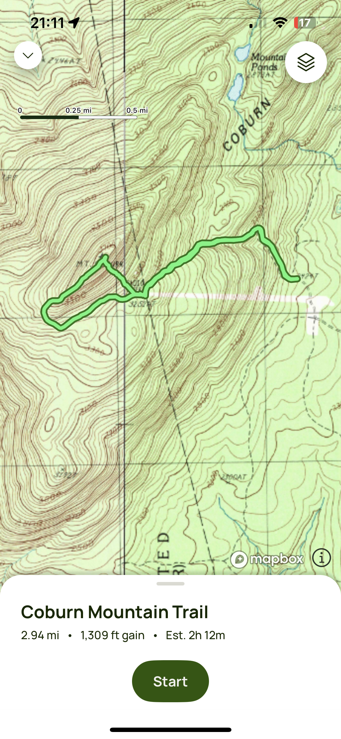 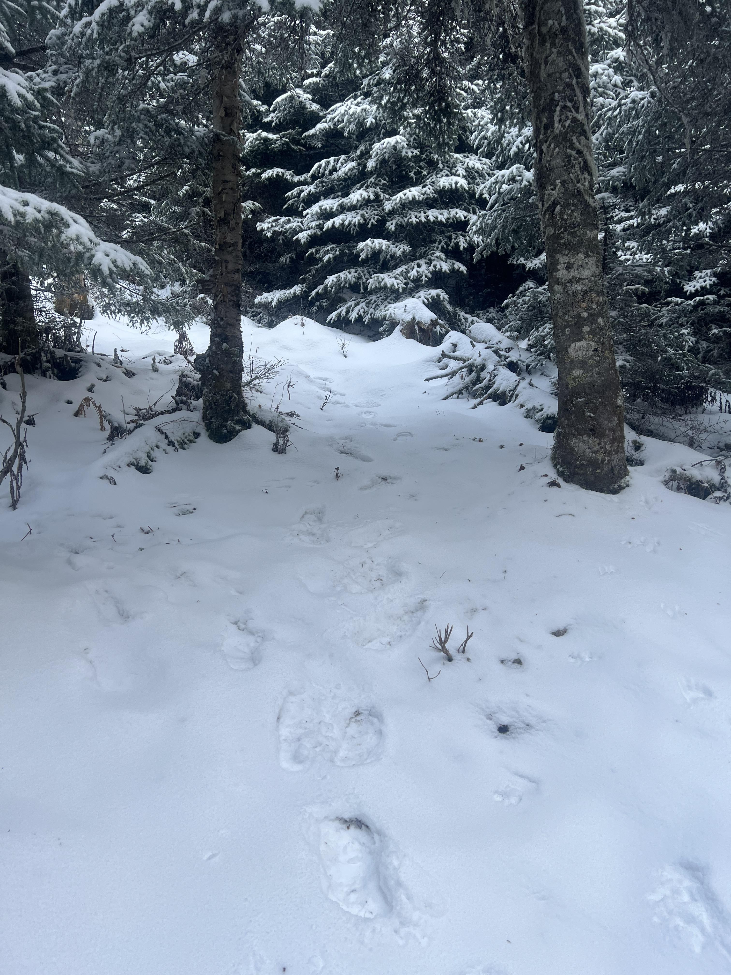 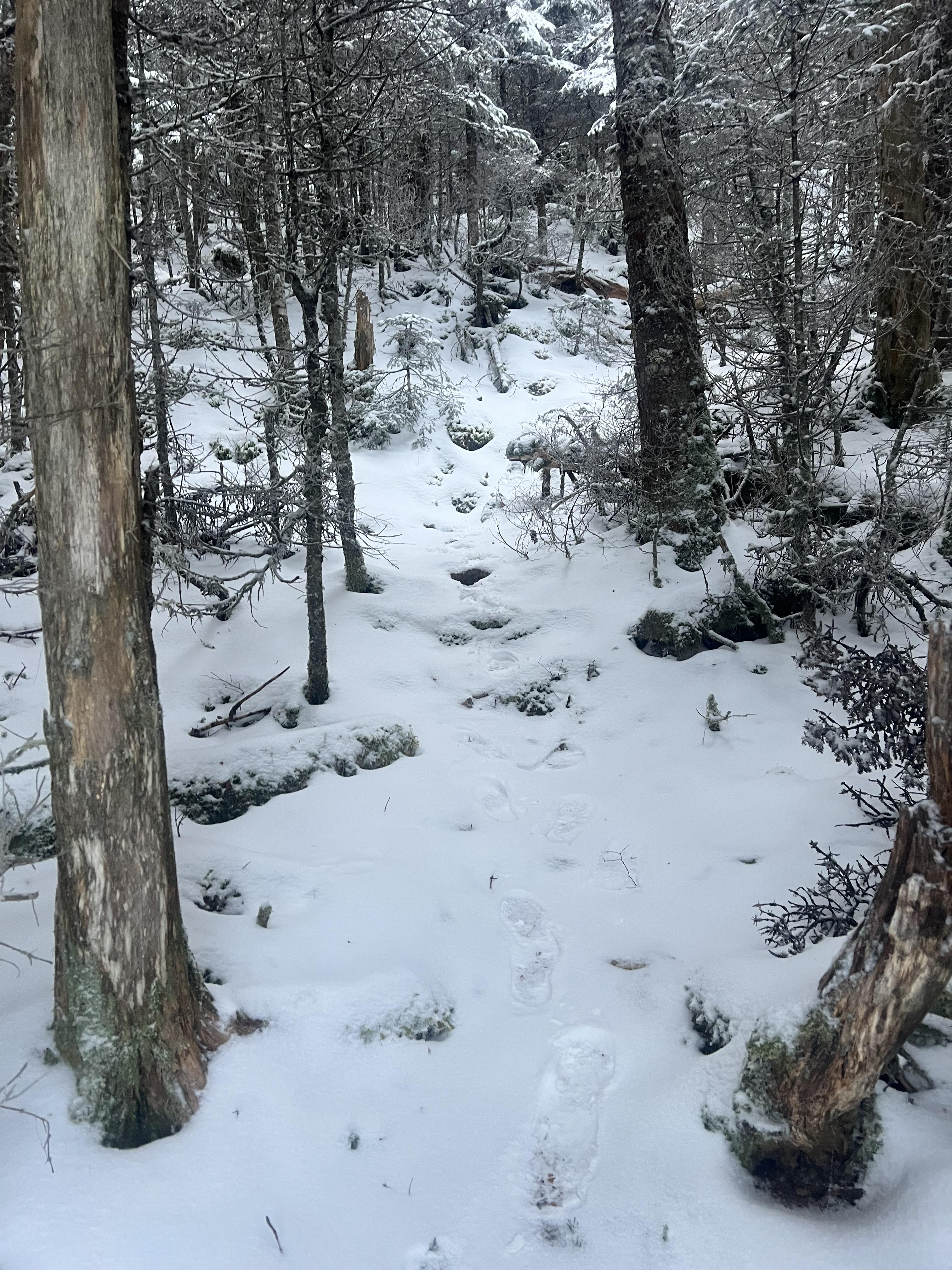 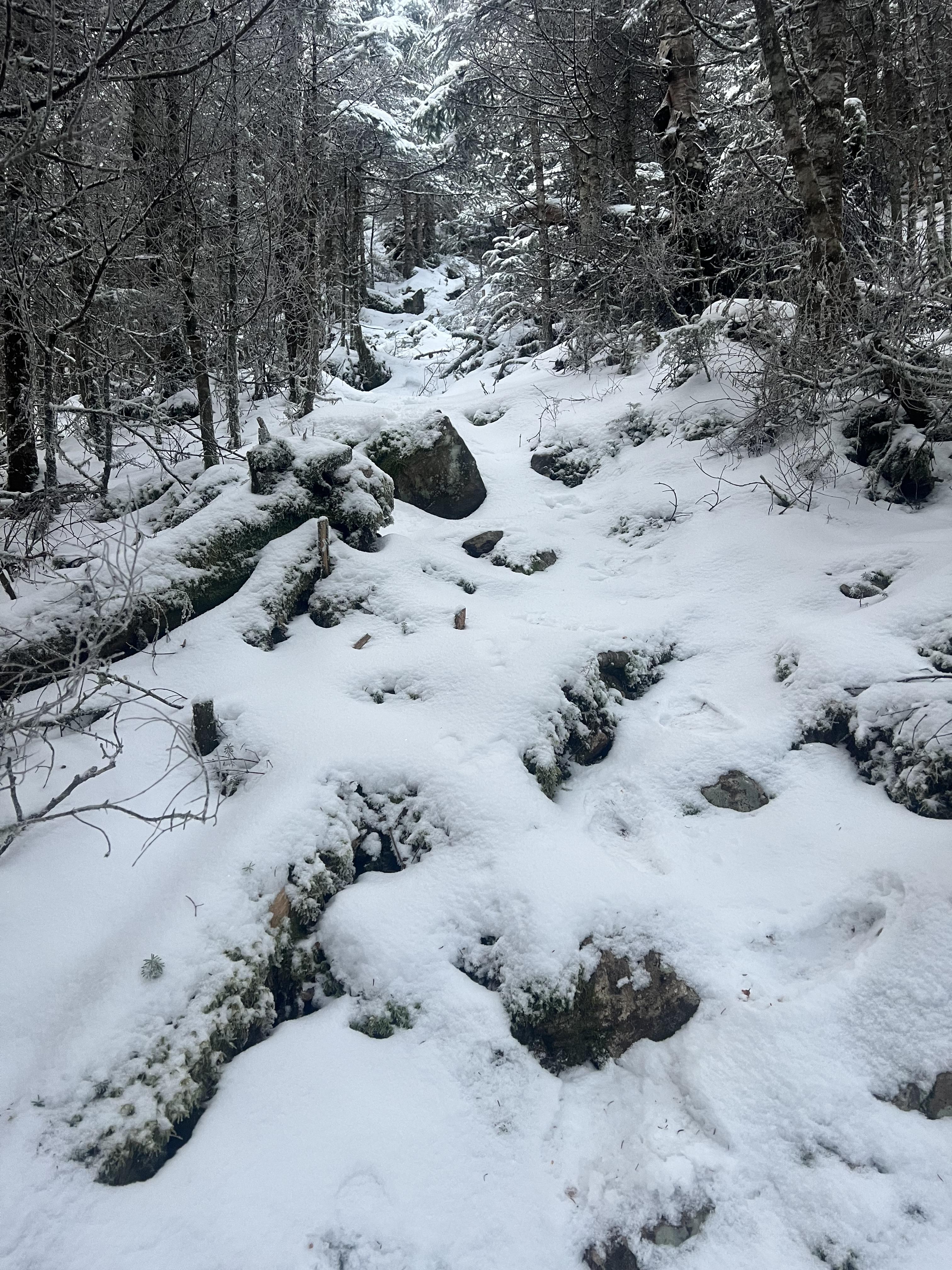 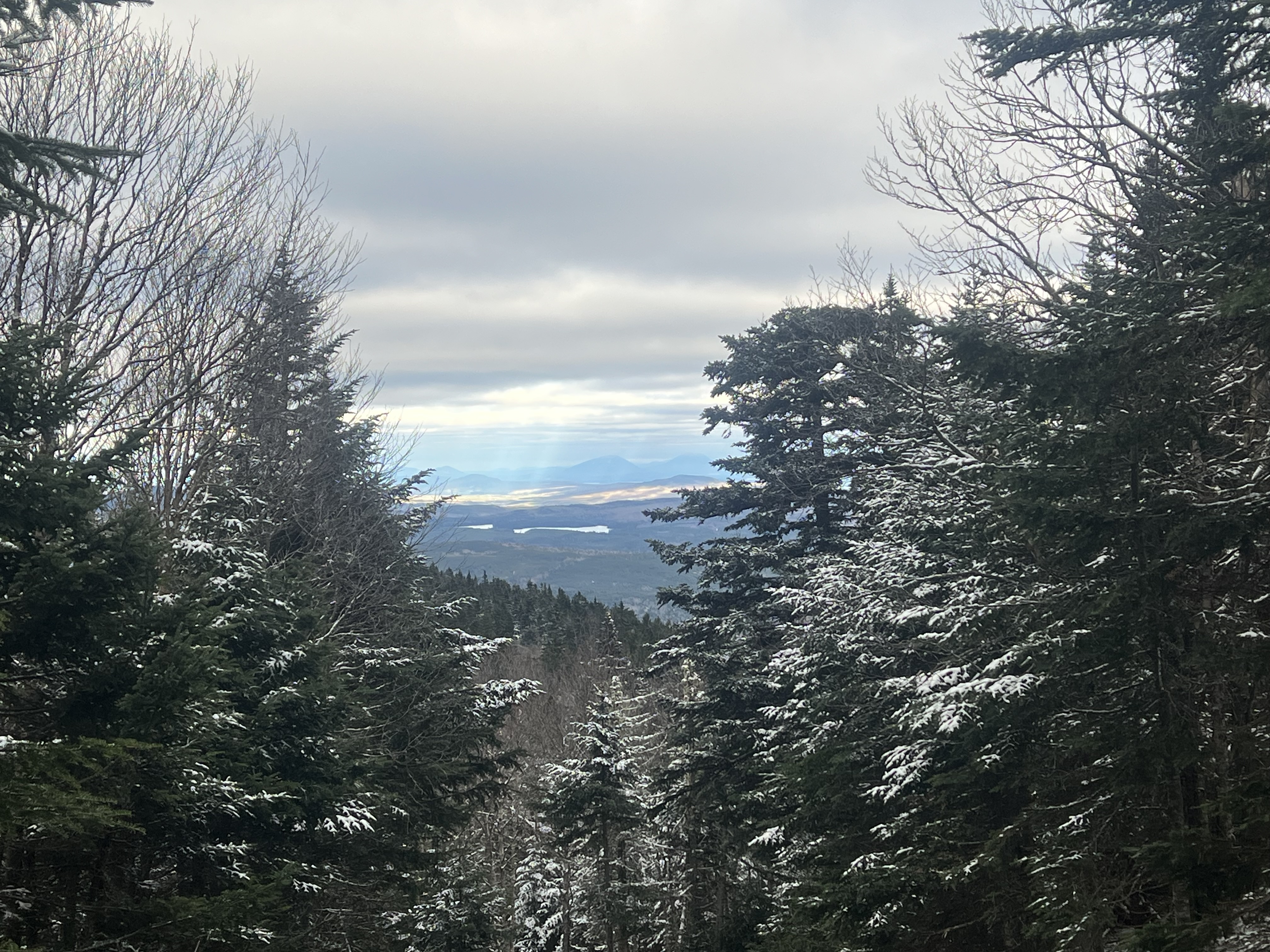 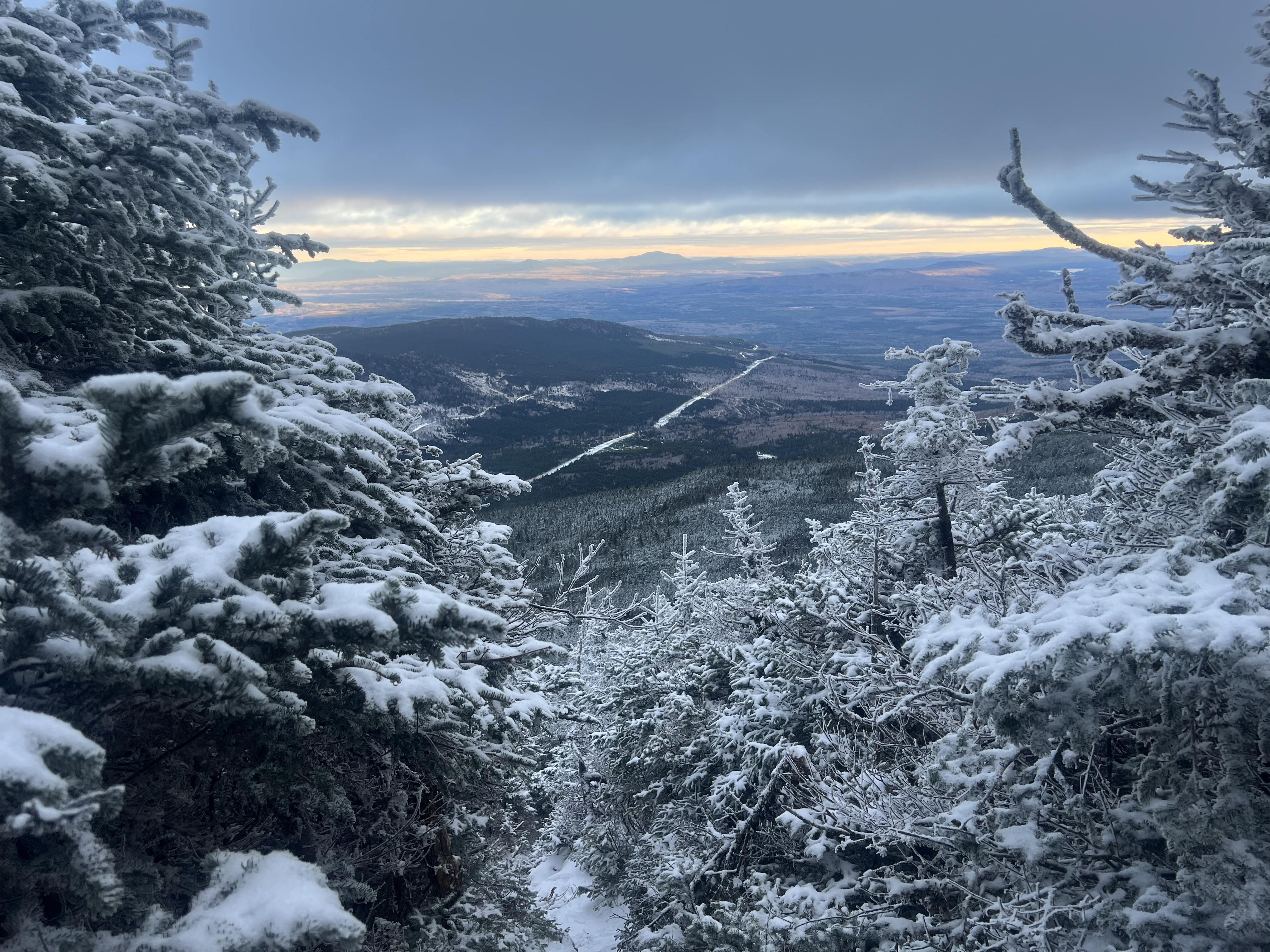 One of the pieces of gear I was testing was my Marmot Hammer tent. I’d used it in sheltered locations before, but never in exposed areas like it’s meant for. 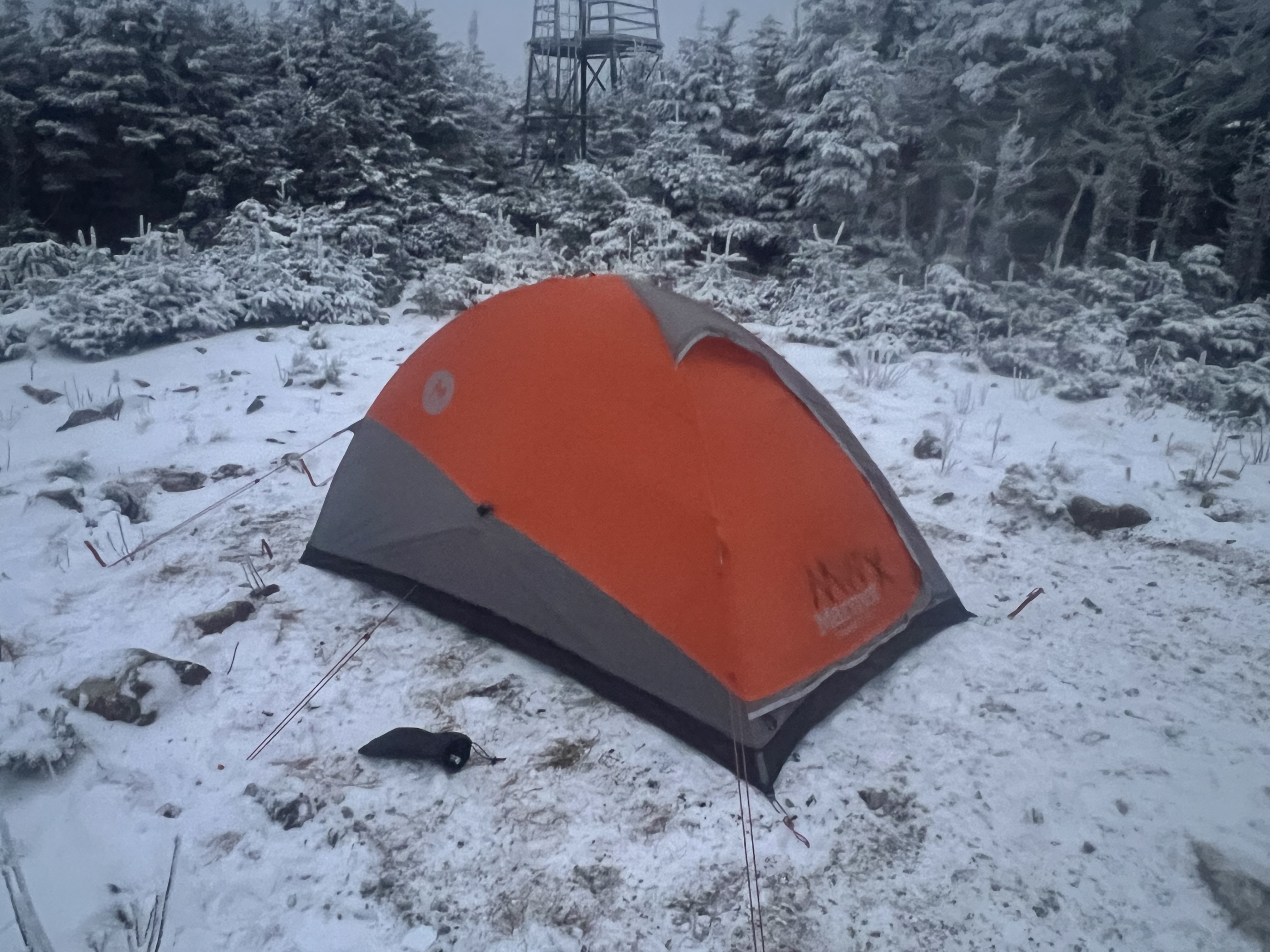 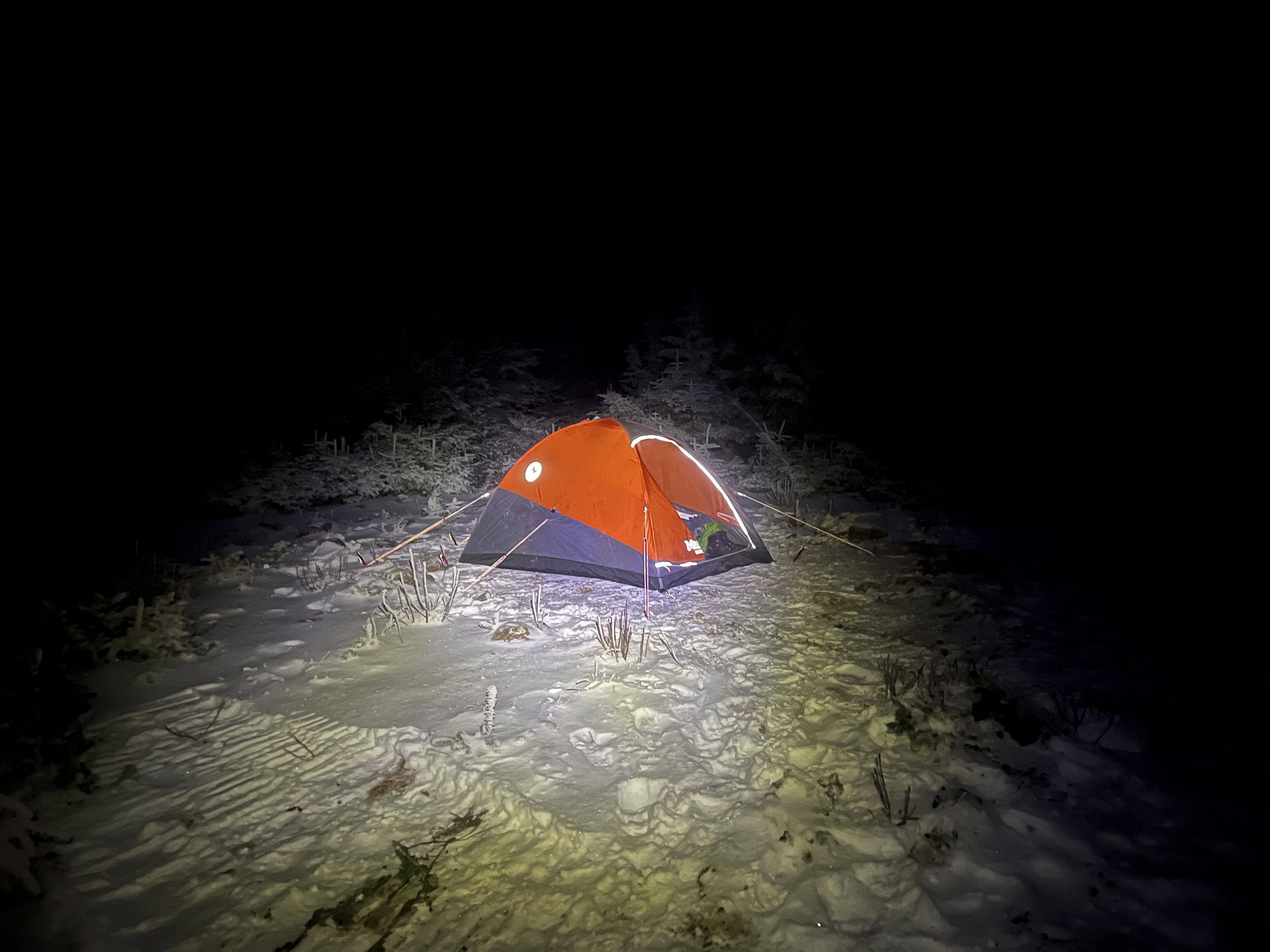 It did the job, but being a single wall tent the interior was covered with frost all night long. It’s a small tent, my NEMO Sonic 0F on my Xtherm MAX was touching at both ends and I got snowed on when I moved or the wind blew. The wind was strong enough when I got up there that I used all the guyouts, but it calmed down a lot overnight. I’d been underwhelmed by the Sonic every time I used it before, even at 15F on an Exped DownMat 9 I was chilly. So I basically used it as a 20F bag. Part of it was due to the down being very mobile in the longer baffles, I spent about 1/2 hour spreading it out to fill the voids the other night. But the biggest factor in my being toasty warm all night was the Xtherm, it’s just a warmer pad than the Exped. I carried everything in a Granite Gear Nimbus Trace Access 70 I got a few months ago, I’d used it a couple times just out roaming but didn’t find it all that comfortable. It swayed a lot, too. Tightening a couple straps fixed the swaying, and experimenting with packing resulted in a very comfortable pack. Weight was around 35lb. 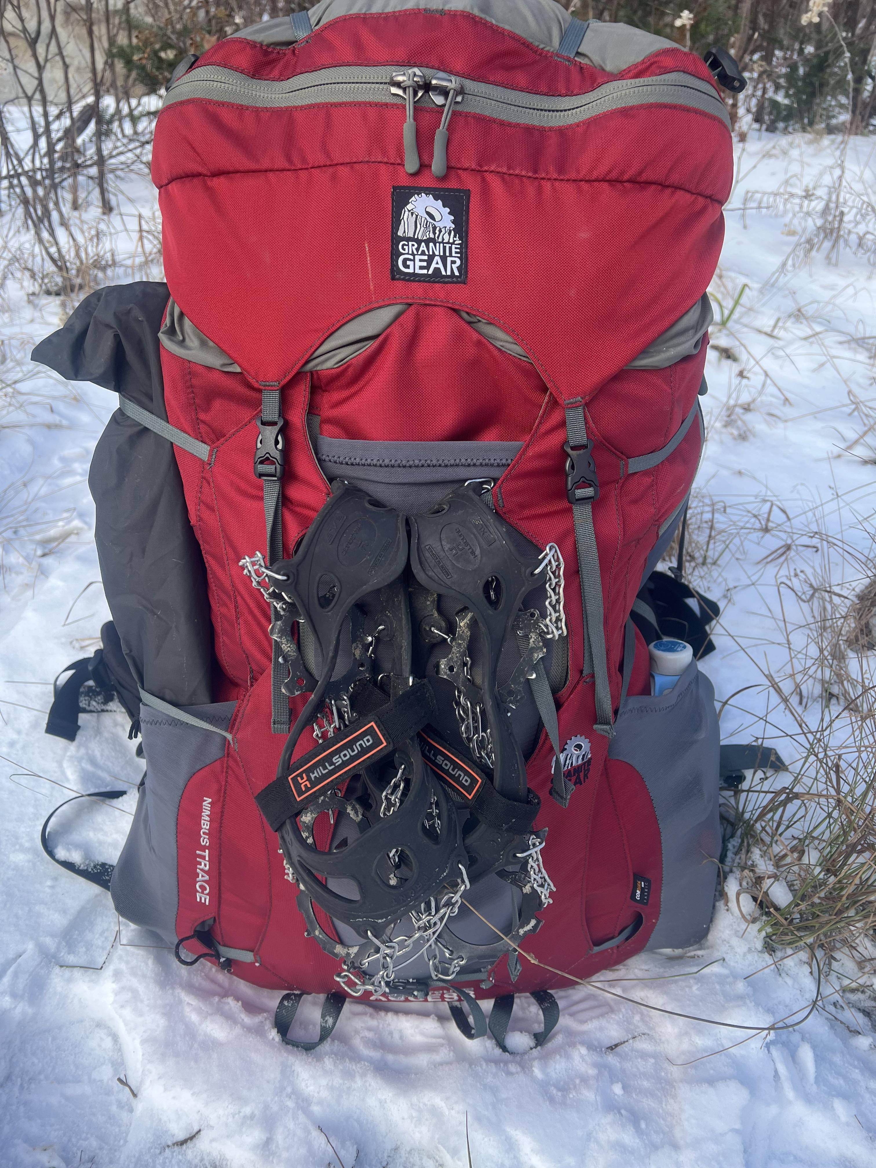 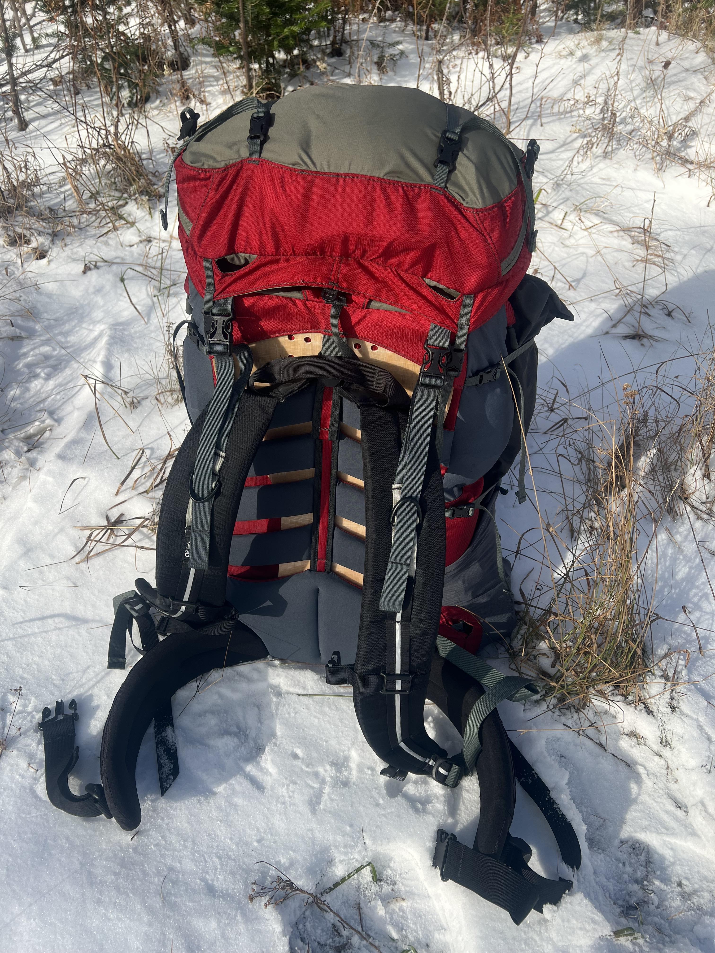 So I had a warm, pretty comfortable night. I used a few other pieces of gear (Western Mountaineering Flight down pants and Flash down booties) for the first time but I’d end up writing a book if I started talking about them. The Flash booties are awesome, though! When I got up in the morning everything was still clouded over. 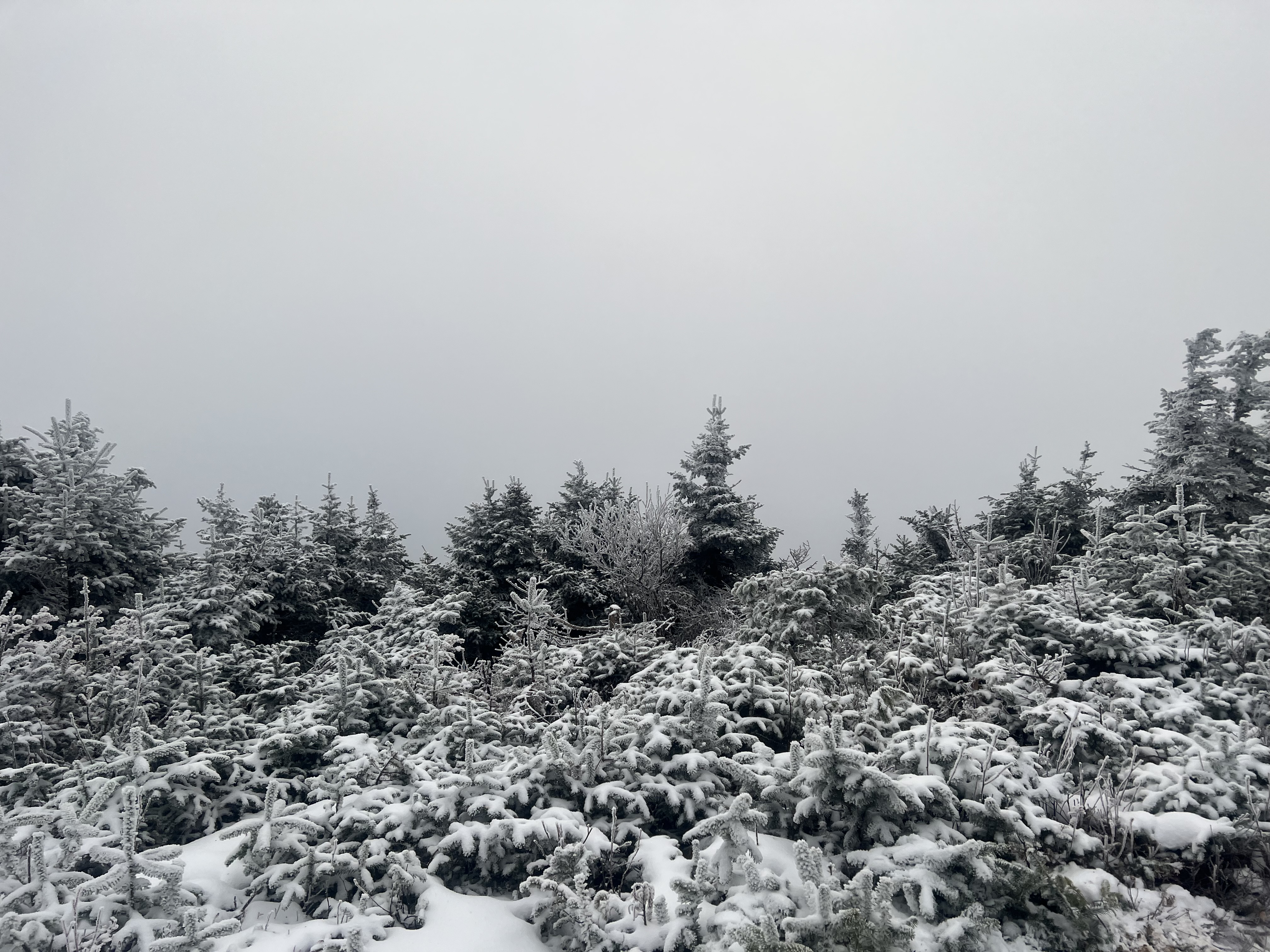 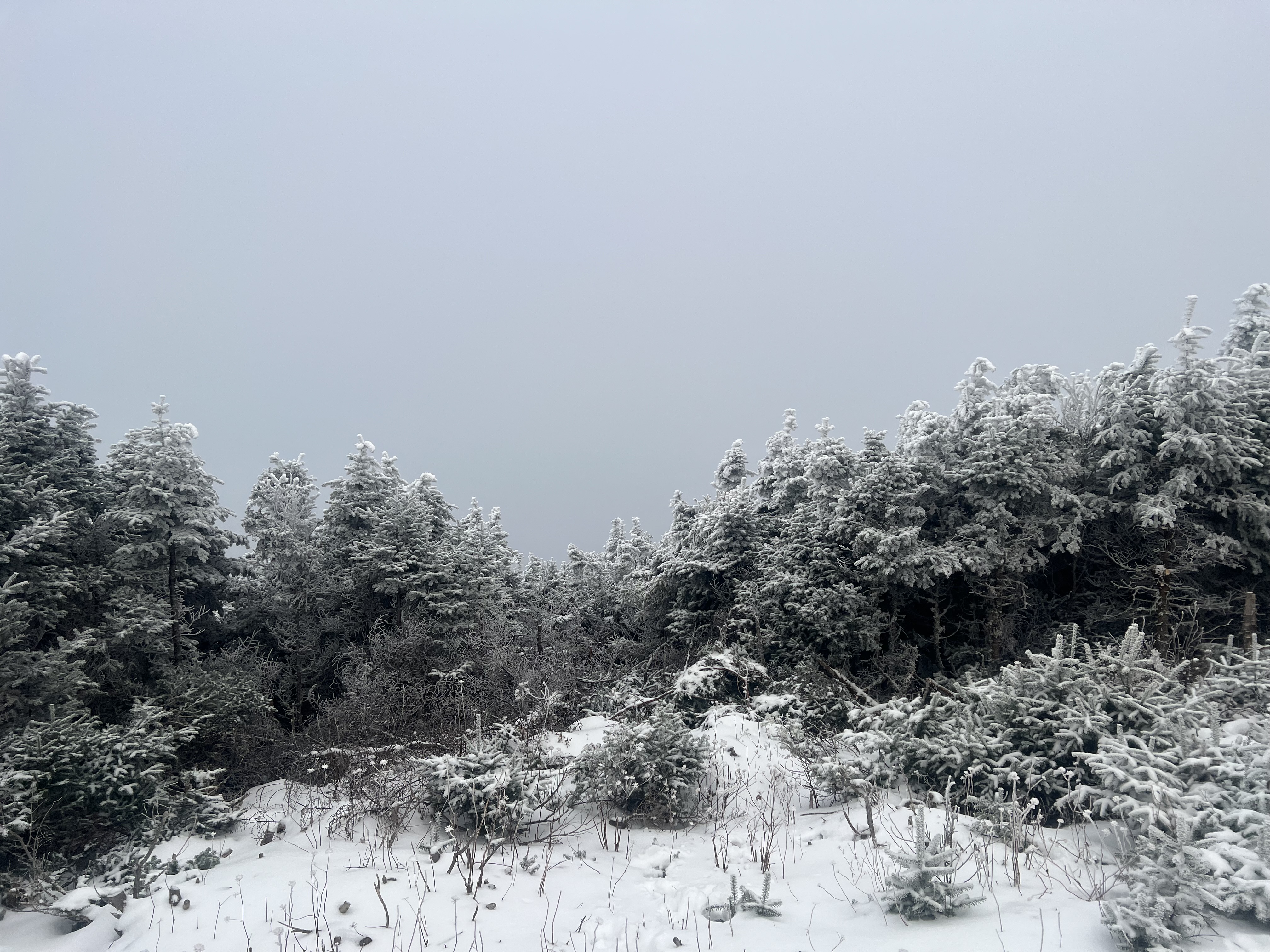 I packed up and headed down the snowmobile trail instead of the hiking trail, due to my bad knees I went pretty slowly and took maybe 75 minutes. I found some things that didn’t work and others that did, so as soon as we get nice, cold, windy weather again I’m gonna go again. Hopefully up Boundary Bald, though! It’s a little lower but more exposed. |
I went out to Boundary Bald Mountain today to get some miles in with a heavier pack and to try my new snowshoes (Atlas Range MTN 35.) The logging road was ice in a few spots, and even in 4WD I slid at a spot that went downhill around a curve with the road banked down toward the outside of the curve. I should have brought my chains, but I’ll have them next time. 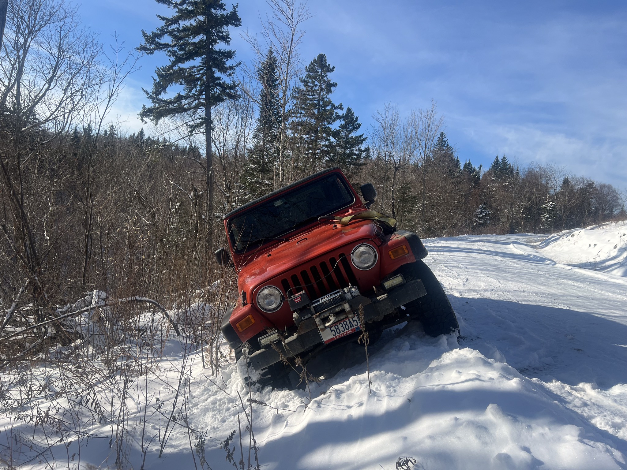 I’m glad I have a long winch cable because the nearest tree that was big enough was across the road and uphill. It turned out not to be rooted deeply enough and started tilting, but just then one of the guys I work with came by from plowing out side trails and pulled me out. I crept off in 1st gear until I reached the unplowed section of the road and picked up speed. The side road to the trailhead had 8-10” of snow, so I knew there’d be enough for the snowshoes. Once I got geared up I headed out. There wasn’t enough snow to bury all the stickers & wait-a-minute vines so I headed up the trail instead of going cross country. 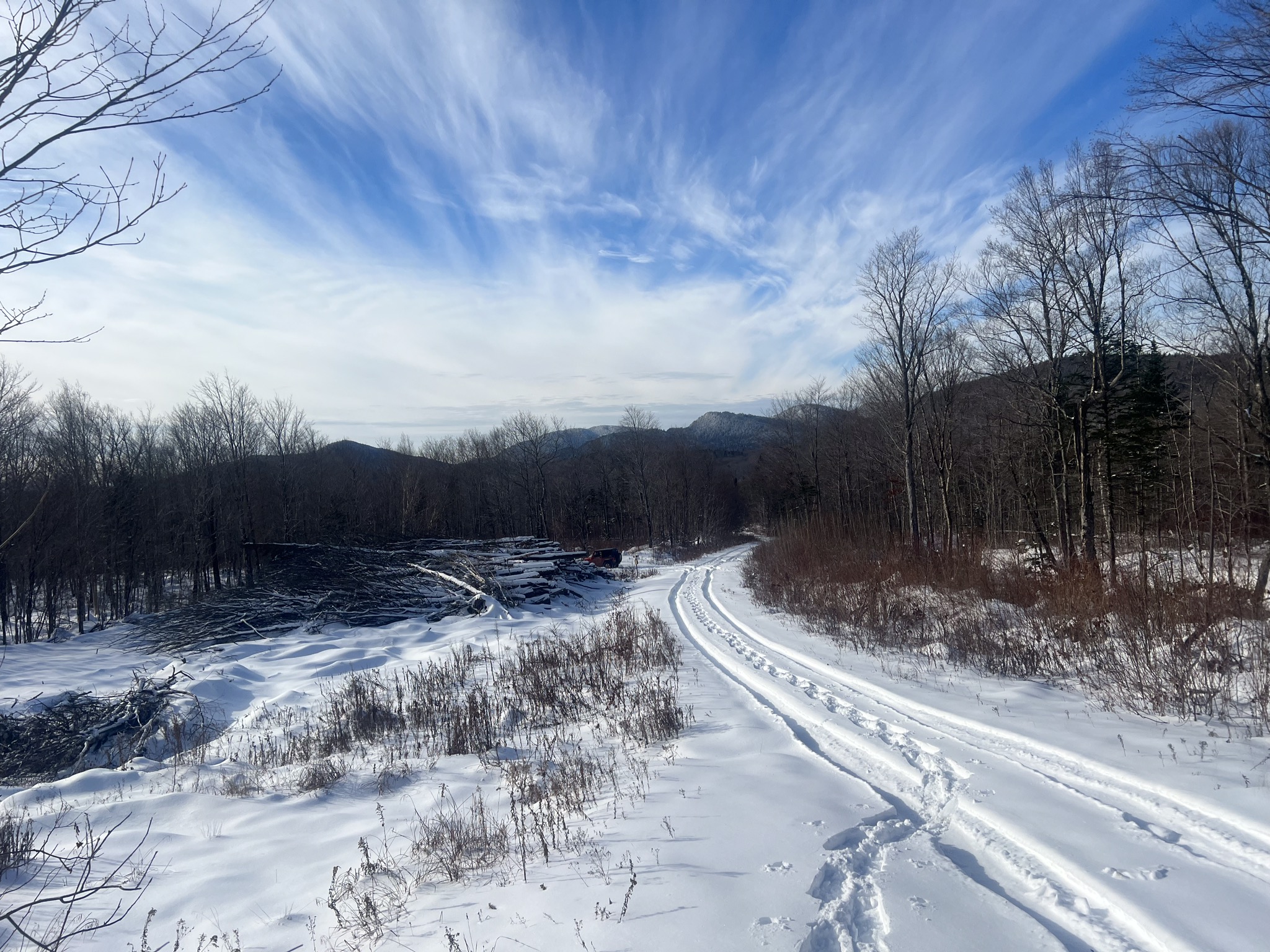 I’d realized that I hadn’t put a belt on when I started gearing up, but decided to go anyway and hopefully my pack waist belt wouldn’t push them down. After maybe 1/2 mile I was tired of hitching them up so I turned around. The snowshoes worked pretty well but really weren’t big enough for my weight and the snow texture. I’ll need some hard packed snow to really try them out (they’re the same size as MSR Lightning Ascent with tails) so next time I’m bringing a different pair. Right now one thing I don’t like is the small foot opening, regular uninsulated hiking boots with gaiters barely fit in. 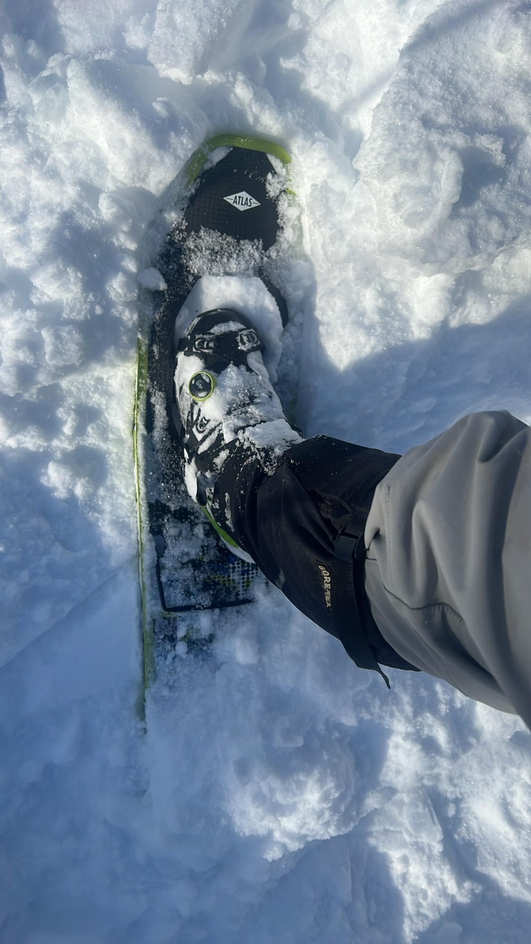 We’ll have more snow next weekend so I’ll make sure to wear a belt and hike up to the summit to camp. |
Last weekend I started flagging a bushwhacking path up Boundary Bald Mountain that I began making this past Feb/Mar. I never made it to the summit due to poor snow conditions, so this winter I’m starting early. 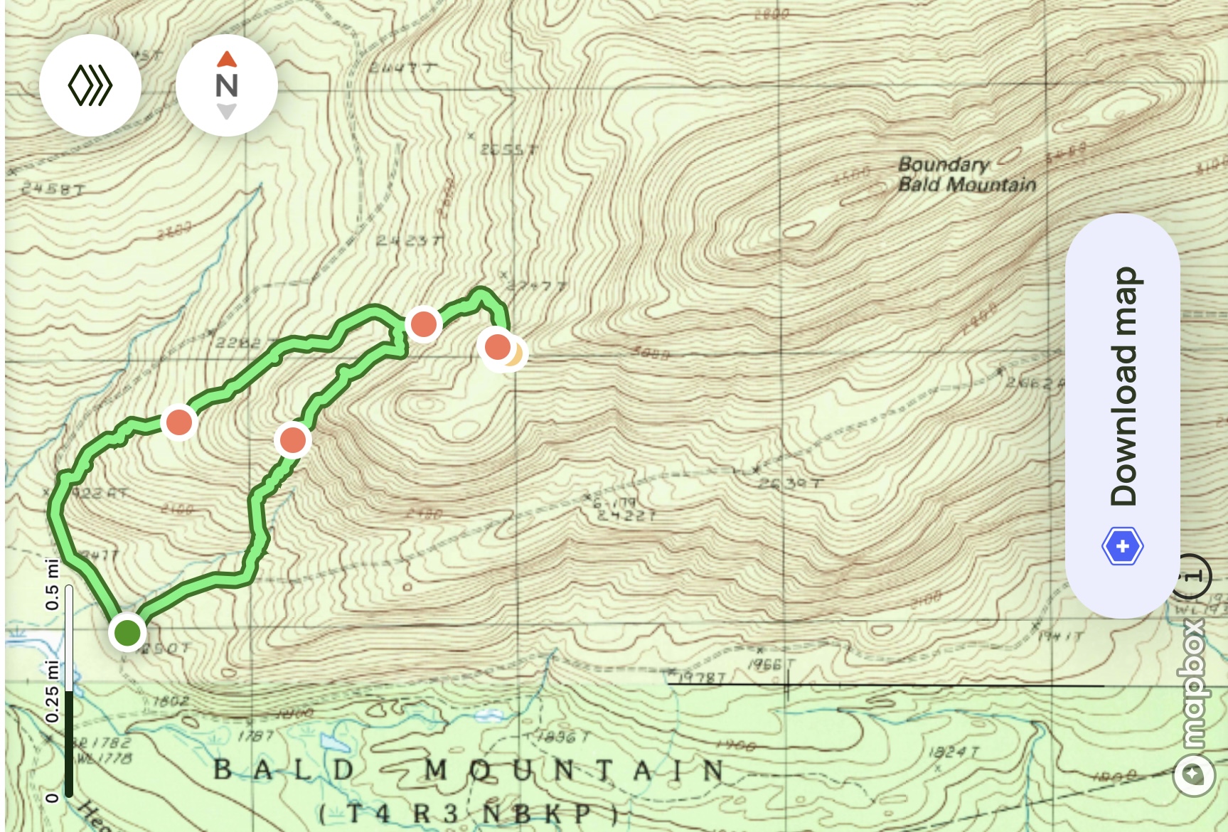 There was maybe 15-18 inches of somewhat compacted snow last weekend so I got to try out my new Atlas Range MTN 35 snowshoes, with an initial rating of 4 stars after 3 uses in the kind of terrain they’re meant for. So I headed out, following the terrain like I did last winter so I stayed pretty close to my previous route. The going was slow because I was stopping about every 50 feet and tying a 3-foot length of pink flagging tape on a tree. The weather was warming up, though, and Sunday night through Monday we had temps up to the low 50s and heavy rain. Today I packed my pack and headed out, but the going was much slower due to the tangles of vegetation no longer being covered by snow. I’d originally planned on going tomorrow but the Christmas Eve weather forecast turned a little crappy so I headed out in early afternoon today. Too late, it turned out, since my flagging tape was hard to see as the light faded. With a path of snowshoe tracks to follow it would have been easier, but with the sun sitting right on the surrounding mountains I headed down and will go back up tomorrow, crappy-ish weather or not. Half-assed gear loadout video. 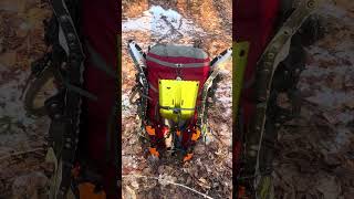 Winter pack loadout Pack weight is 45lb and it carries extremely comfortably. After I got home I remembered that I have a pair of 28” Atlas Aspect snowshoes in my gear room, their bindings pack more compactly than the GVs I brought today. If I need to use them at all I doubt it’ll be until I get near the summit. I’m usually not a big fan of the Atlas SLS (Slings Lotsa Snow) pivot system, but there won’t be any powder to be slung up my back. A new piece of clothing I’ve been wearing this winter, I’m not exaggerating when I say it’s revolutionized my winter hiking because I no longer have to choose between being warm and sweaty (thereby cold and wet) or cold and dry. Marmot Olden Polartec hoody. More Monday! |
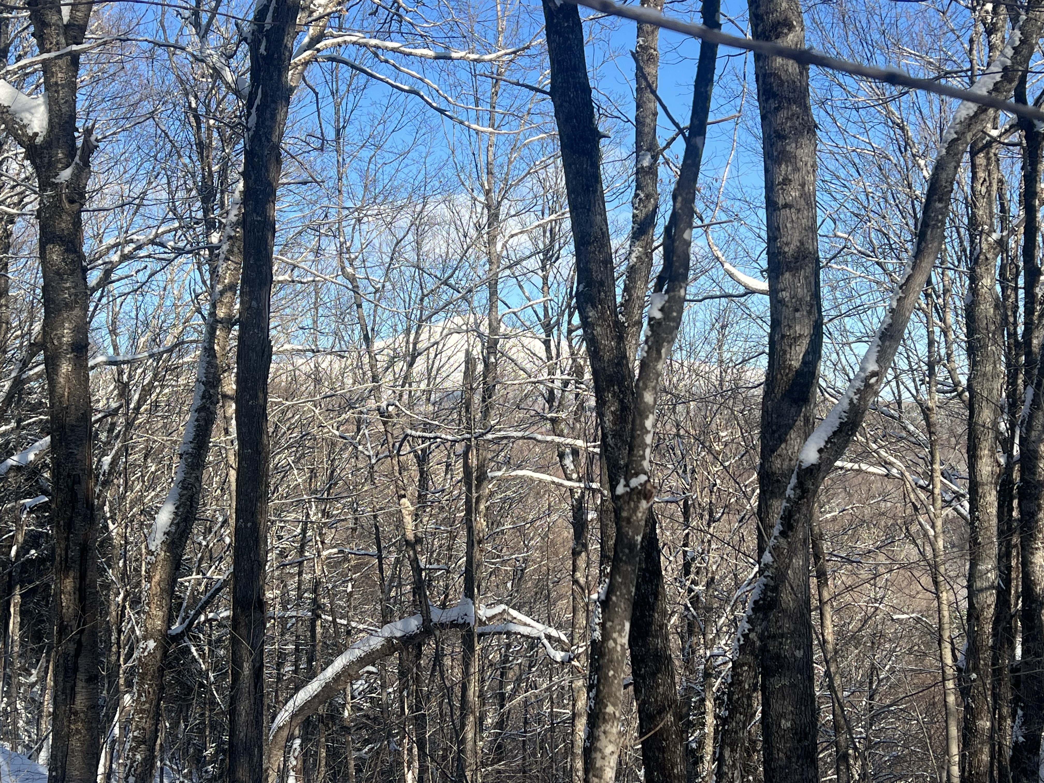
Well, the woods won, without a couple feet of snow there’s just too much undergrowth and deadfalls to get over and through without a LOT of work and a good chance of fucking up my bad knee. I’d forgotten to put my knee brace on, too, so I had to be extra careful. Though it does feel pretty good now. Maybe tomorrow I’ll just go do some conditioning on a broken trail, today’s pack was 48lb which should do fine. Though I’m not sure if walking 5 miles on a trail in 3 hours will do much more conditioning than bushwhacking 2.3 miles in 3 hours. 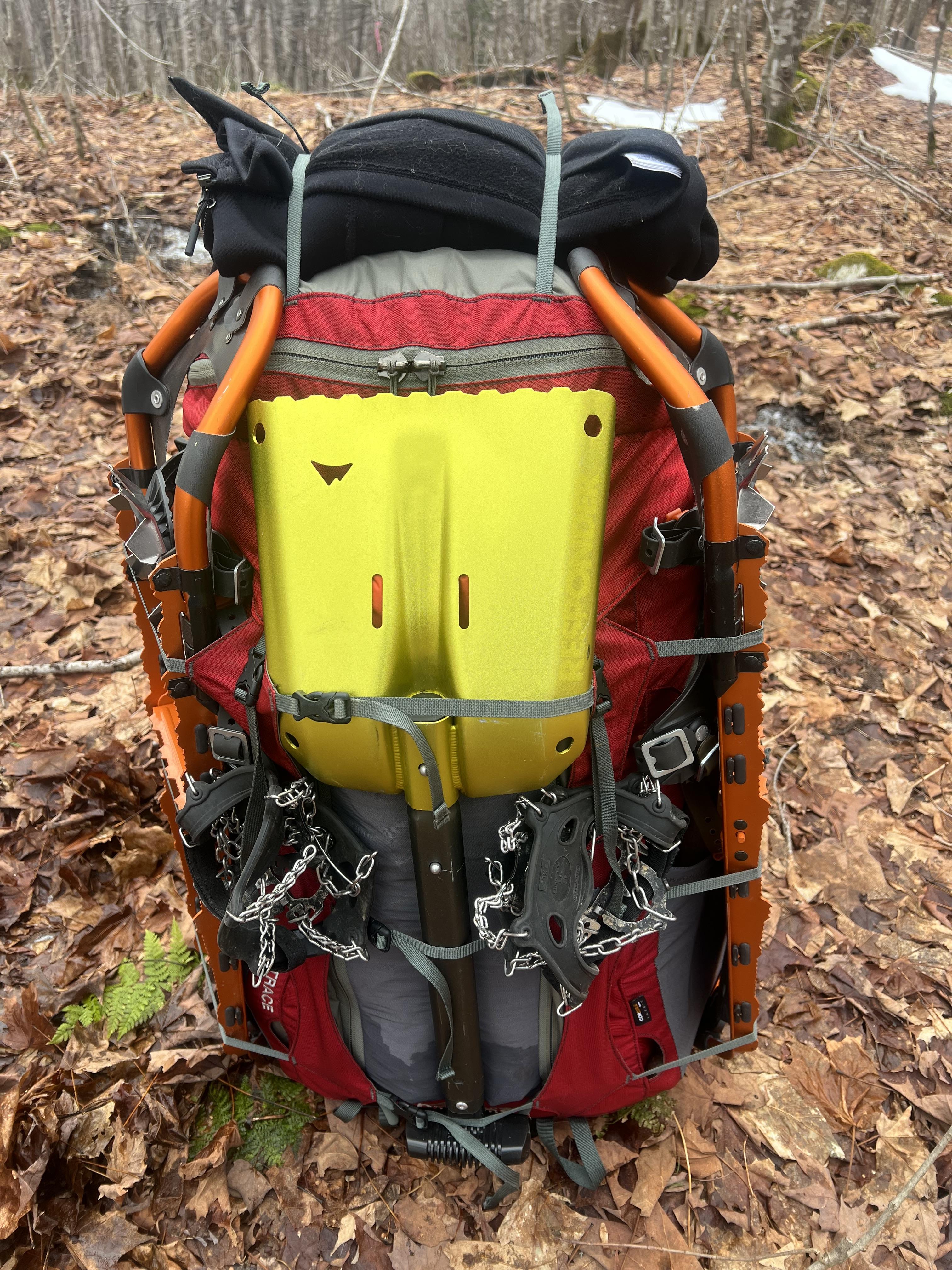  Crazy tree |


|
4 miles yesterday, 3 of them were off trail. Attached File |
Dude, where's my car?
|
Hiked two ADK mountains today, Ampersand and Baker. About 8 miles, 2600 feet of elevation gain. Clear blue skies and nice packed trails, that’s how I like winter hiking. Attached File Attached File Attached File Attached File |
"anarcho-tyranny"—They refuse to control real criminals so They control the innocent.
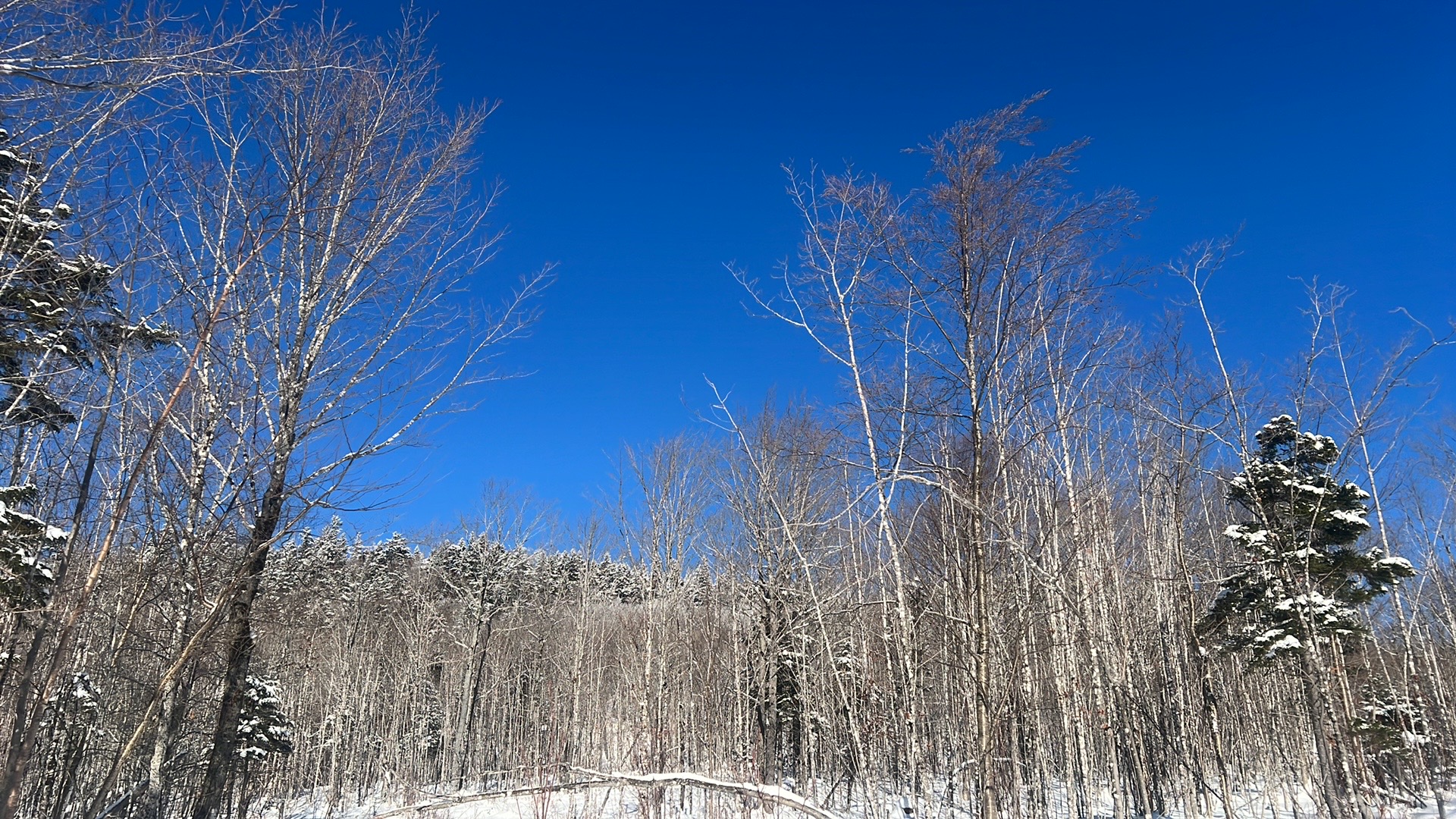
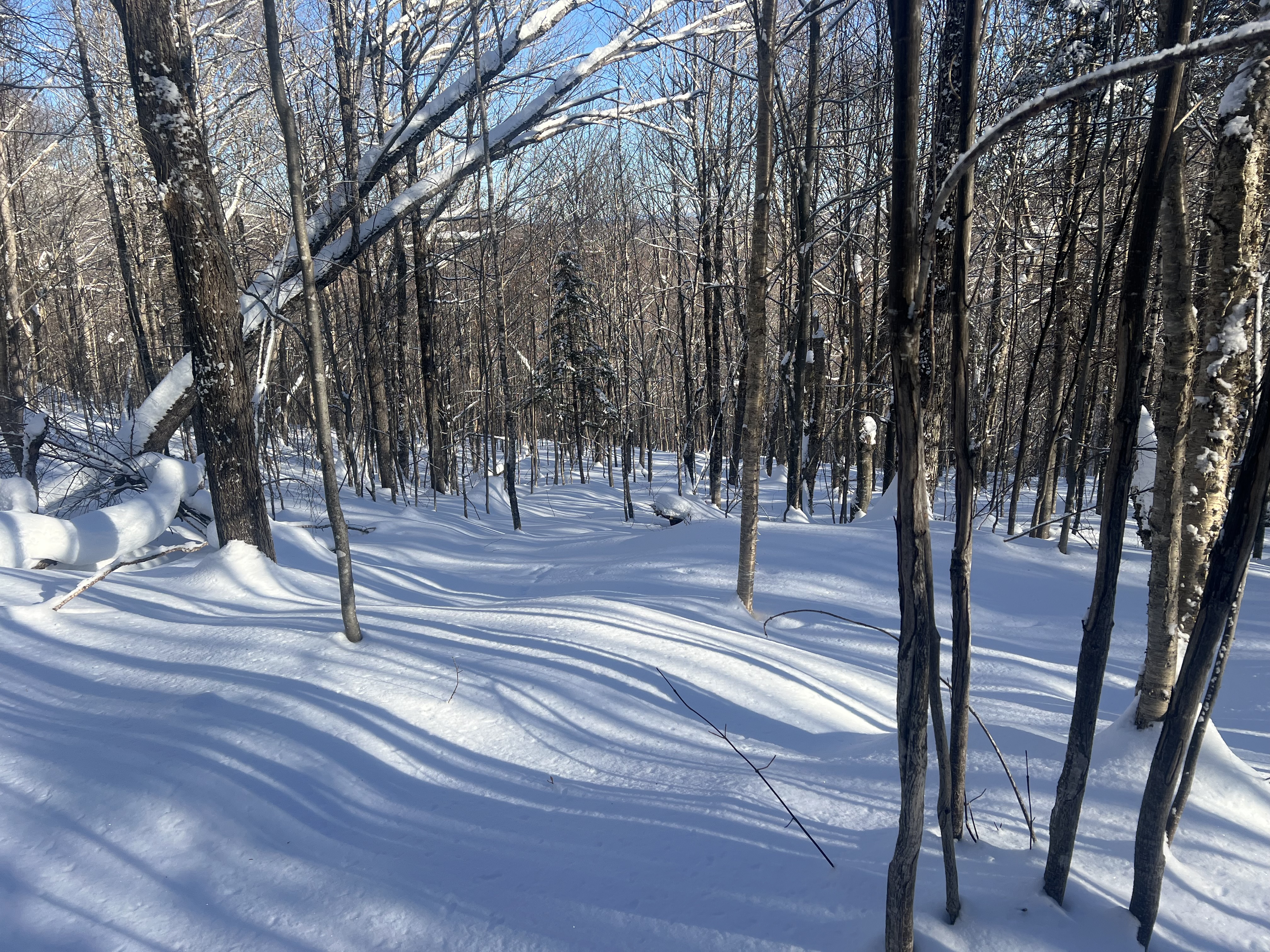
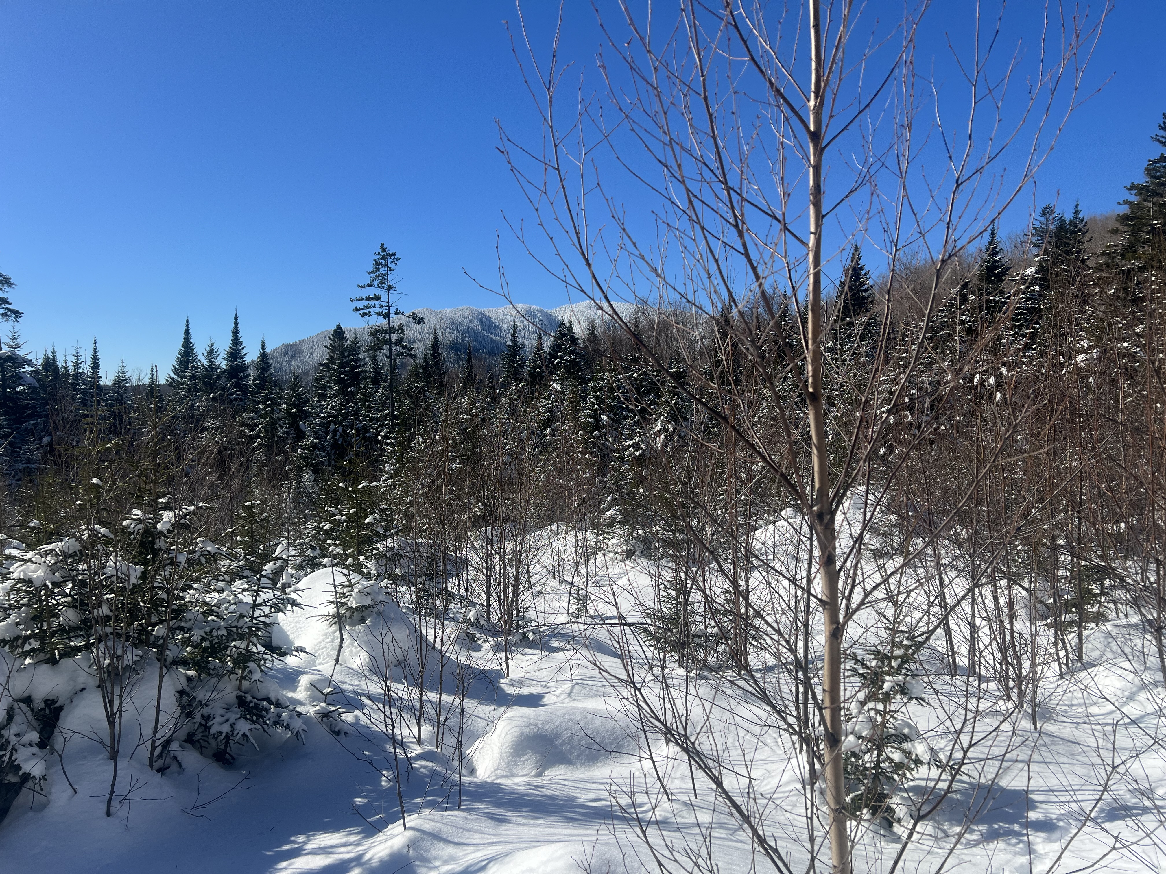
|
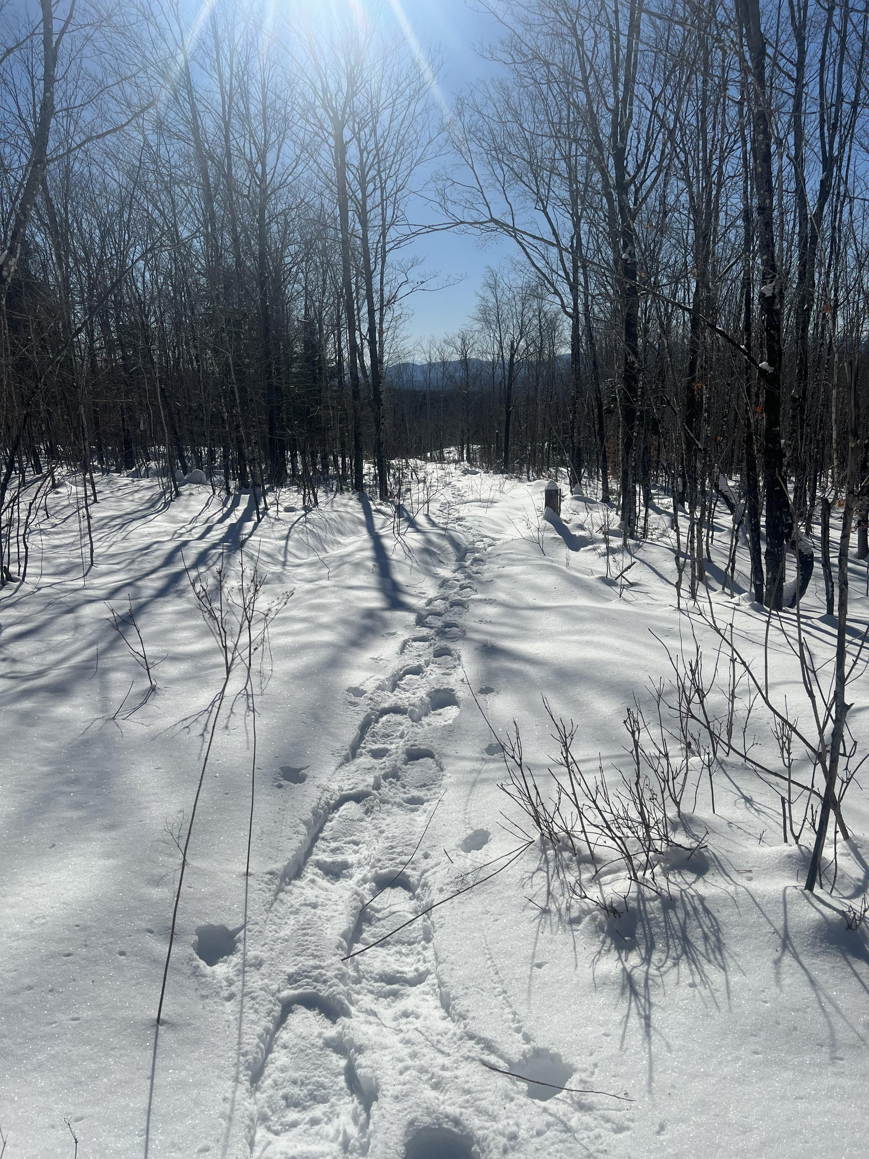
Originally Posted By ME2112: Clear blue skies and no trails except the ones I make, that’s how I like winter hiking LOL Just roaming around the woods, looking for a way around a cluster of hills but ran into impassable evergreens both ways I went. https://assets.trailspace.com/assets/1/d/7/12825047/IMG_1384.jpg https://assets.trailspace.com/assets/1/d/9/12825049/IMG_1379.jpg https://assets.trailspace.com/assets/1/d/a/12825050/IMG_1373.jpg https://assets.trailspace.com/assets/1/d/b/12825051/IMG_1377.jpg https://assets.trailspace.com/assets/1/d/6/12825046/IMG_1386.jpg Beautiful! |
"anarcho-tyranny"—They refuse to control real criminals so They control the innocent.
|
Originally Posted By ADKRebel: Beautiful! Yeah, I love it up here but I do miss the scenery like you have from when I lived in southern Maine and hiked the Whites every weekend. I need to get to the summit of Boundary Bald this winter, the views from there are incredible in the summer. I can’t imagine what they’ll be like in clear, dry winter air. |

|
In a stark contrast to ME2112 snow covered hike, this is an AZ winter hike!! We hiked about 5.6 miles out and back to a place called "Canyon of the Waterfalls". We've both been sick, so we needed from sunshine and fresh air. The large mountains are the Superstition Mountains, east of Phoenix a ways. This is a giant crack in the rock on top of a hill. In the second pic, you can see the size by looking at the very bottom, and you'll see my wife!!   One of the waterfalls. The black streaks are where the water flows over the rocks. The water comes all the way down from the top of the pic, thru that small canyon.  Another waterfall closer to the turn around point.  This one I'd like to see when it's flowing.  The last waterfall before we turned around. It gets a lot more rugged past this point. Also proof there's water in AZ!!   Some random pics of the terrain out here. Very rugged. You wouldn't want to lose your shit out here, that's for sure!!   
|
I'm not bald, I'm follically challenged!!

|
Hiked up Treadway Mountain in the eastern ADK. Attached File Attached File Attached File |
"anarcho-tyranny"—They refuse to control real criminals so They control the innocent.
|
A friend in town has a British friend visiting for the eclipse tomorrow, and told me he’d never been snowshoeing and would like to go. Sheeit, Negro, that’s all you had to say! So I checked access for a few mountains, found one that had easily-passable roads all the way to the trailhead, and yesterday we met and I told him my plan. It looked good to him, so I picked him up at 0800 this morning, had him try out some snowshoes to see which ones he liked best, and off we went. Our destination was Pleasant Pond Mtn in the town of Caratunk, about 30 miles south of Jackman. The AT goes over the mountain and we picked up the trail near the Pleasand Pond Mtn lean-to. 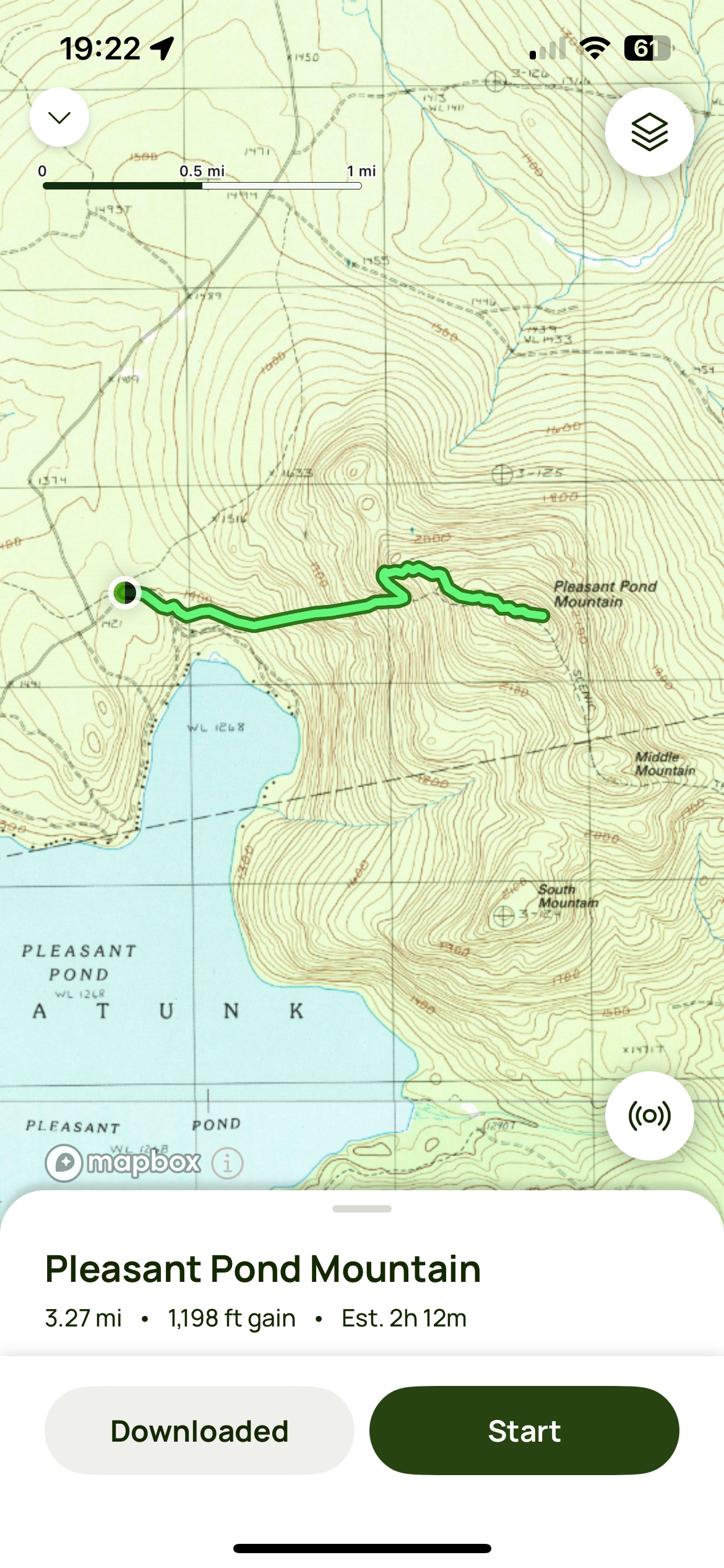 Snow conditions were very good, a little crusty at the start but once we’d gained a little elevation it was softer and fluffier. Perfect for snowshoeing. The sky was cloudy when we started but soon sun started peeking through small breaks in the clouds. The temp was maybe 25-27F at first, my glasses started fogging up pretty quickly so I layered down twice in the first mile and was hiking in just a short-sleeve synthetic T. Two people had gone up ahead of us which made our hike a little easier. There were quite a few blowdowns to crawl under and a spot where we had to climb on a fallen tree to get over the rock pile it had landed on and blocked the trail. In about 2 hours we reached the summit under a mostly cloudless sky, and had caught up to the people who’d broken trail for us. They’d camped at the lean-to last night, and are going up again tomorrow to view the eclipse. They’re from MA so we’re asking me a lot of questions about the area. The summit had 3 spots with views in different directions so I took a few pics at each one. Most didn’t come out very good because the sun was so bright I couldn’t even see my phone screen. I KNEW I should have brought my digital camera! 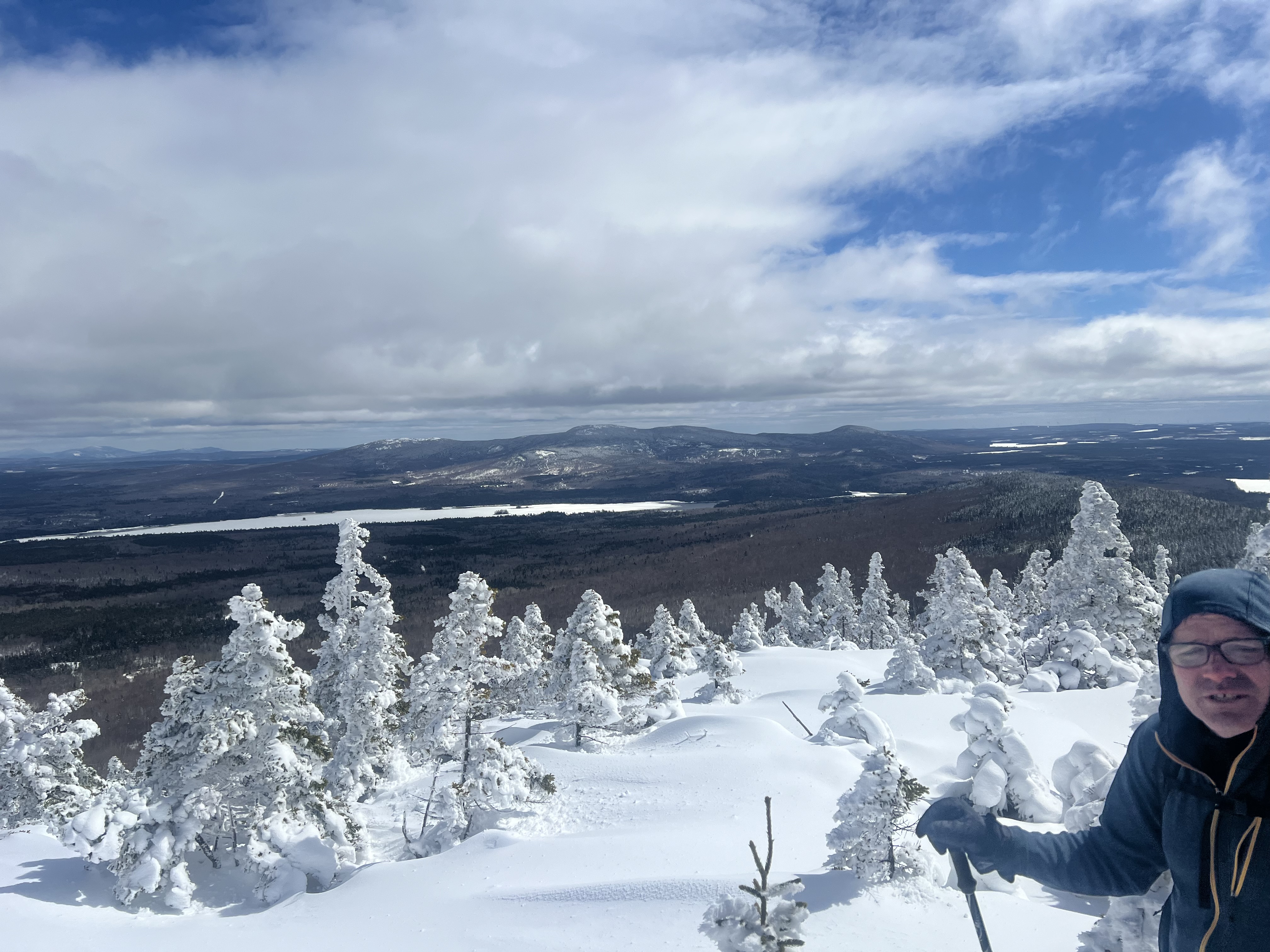 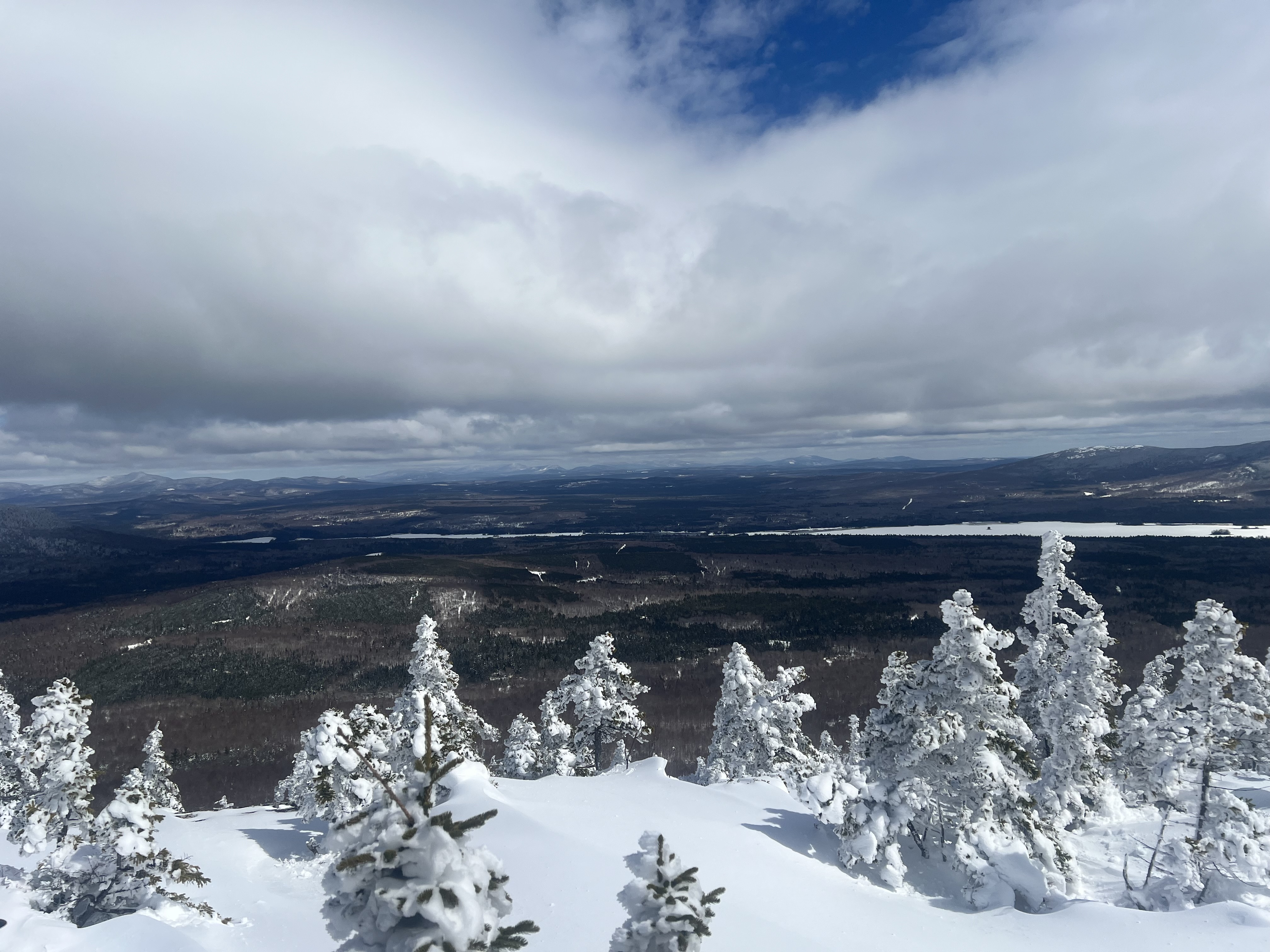 Mt Katahdin in the center distance, highest point in ME at 5270’ and northern terminus of the Appalachian Trail. 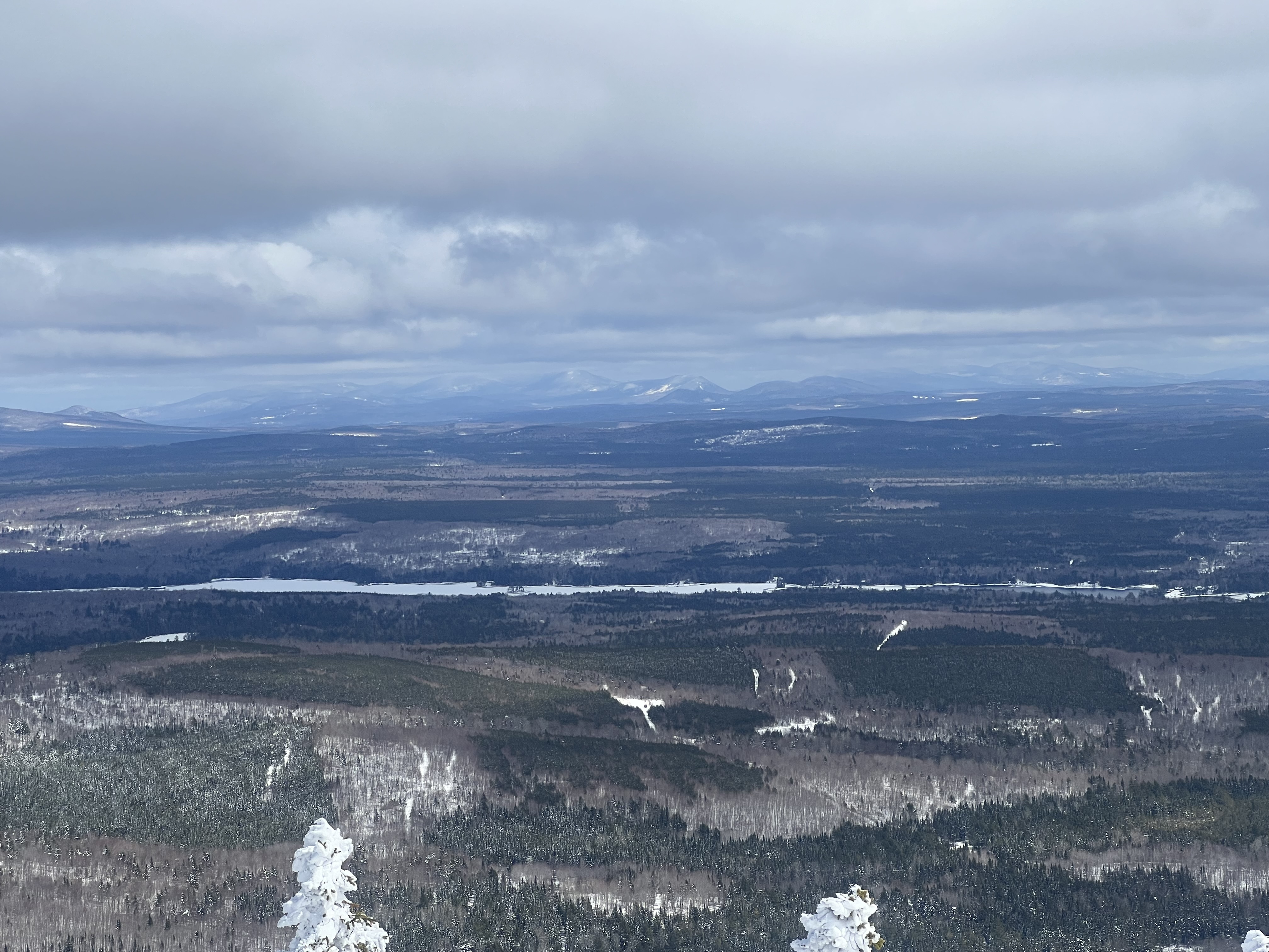 Mt Kineo at far left, an actual island in Moosehead Lake. 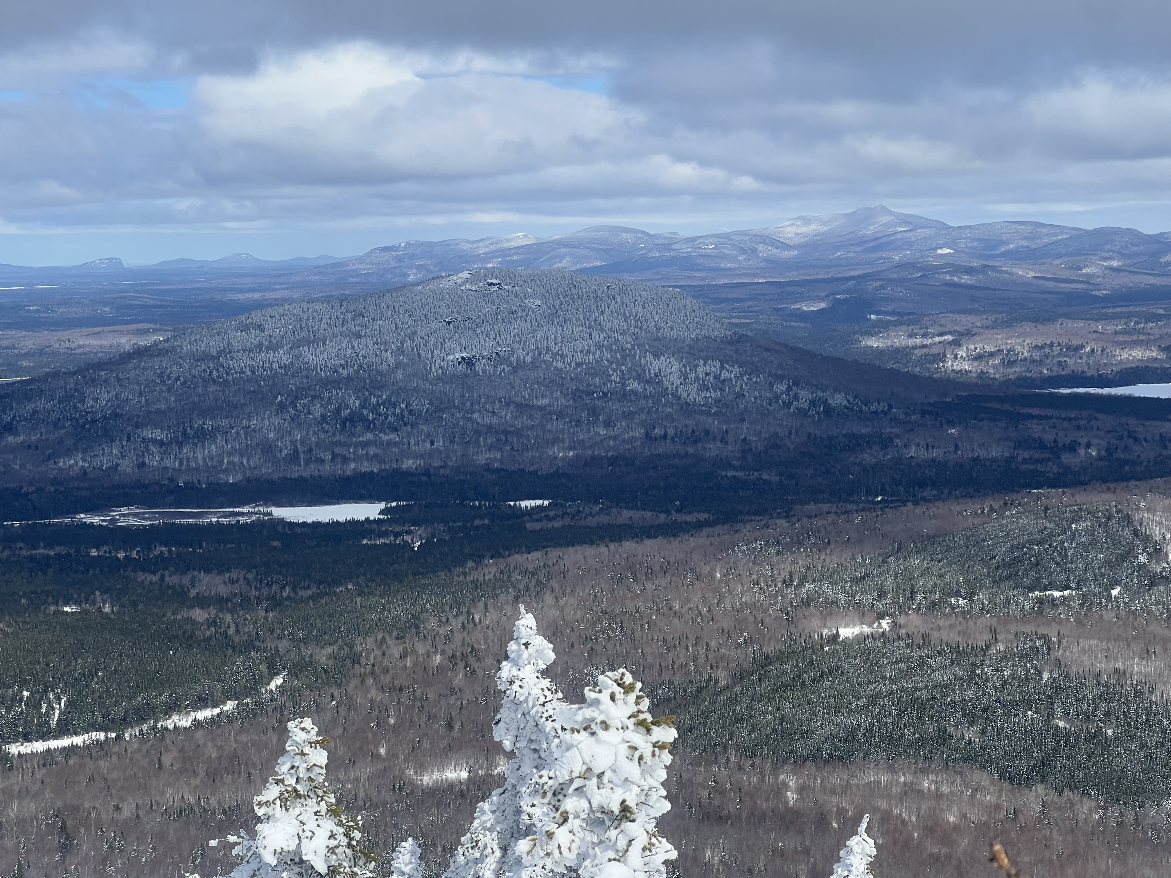 Snow still on the trees from our storm last Wed-Fri. It would all be dropping onto us on the way down. 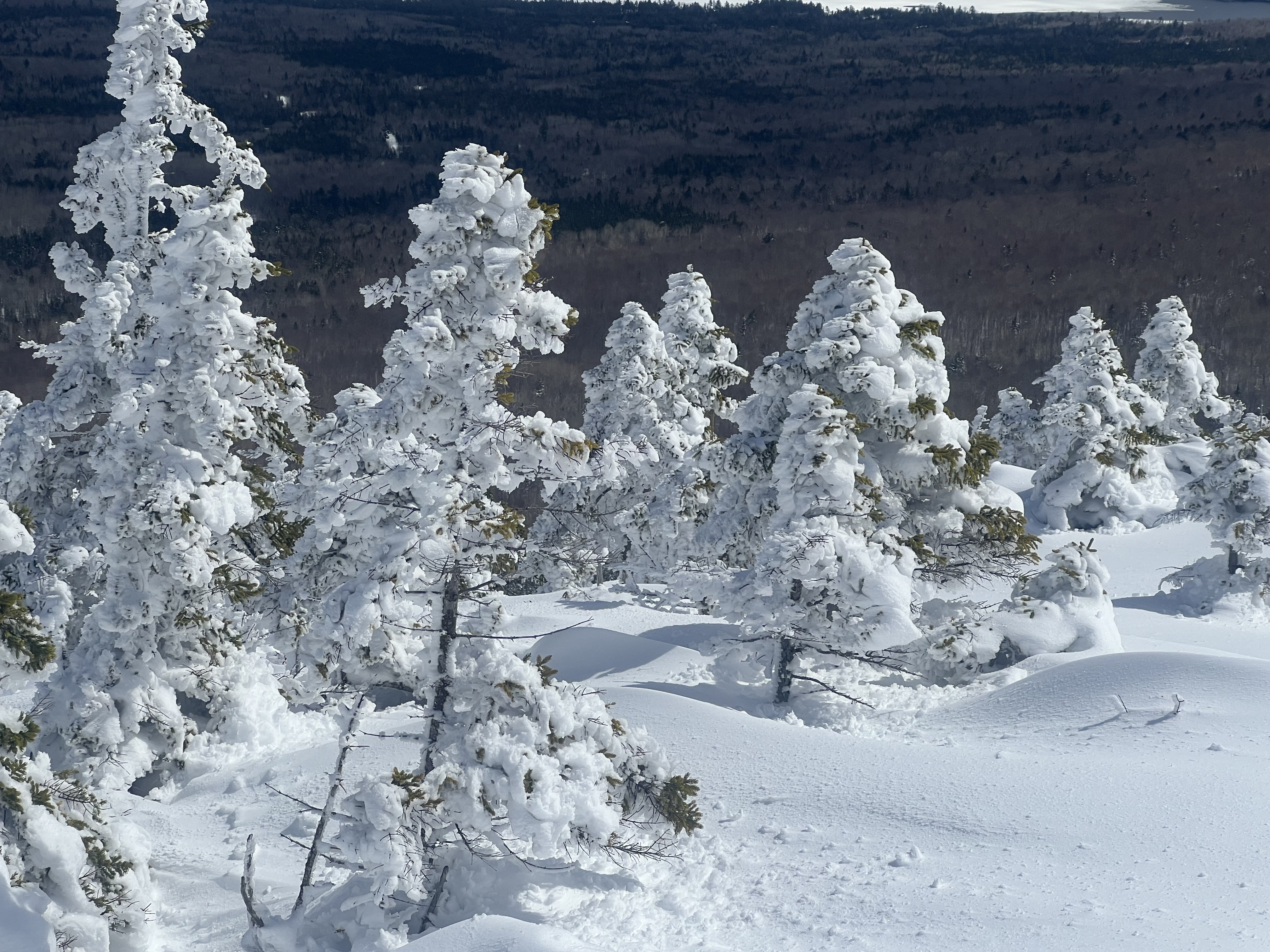 Some dork who can’t smile or take a good pic if his life depended on it. 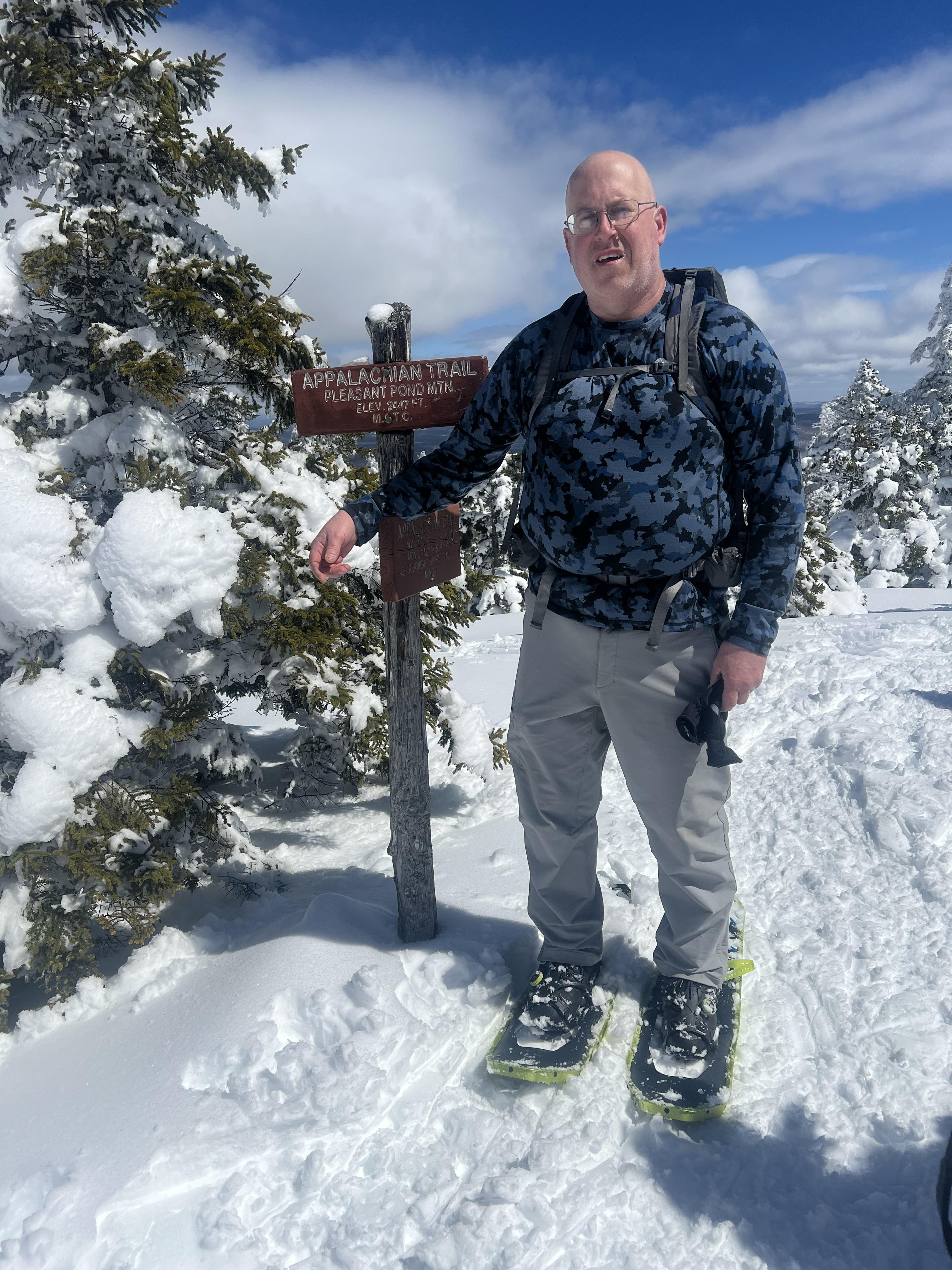 The hike down was nowhere near as good as the ascent, the snow on the trees was melting so we were getting rained on with increasingly frequent slush bombs hitting us. The snow had started to turn into mashed potatoes as well, and was almost slush by the time we got back to the trailhead. We met a group of 4 or 5 people who asked about going up, and whether they could bare-boot it or needed snowshoes, and we told them the snow was so soft and wet that we wouldn’t go up at all now. I think they were also going to camp at the lean-to, and hopefully head up early to take advantage of what little temperature drop there is overnight. I think it’s only supposed to drop to around 30F. I know I’m looking for a different spot to view the eclipse from, most likely closer to town since the center of the zone of totality is about 1 mile north of town. There are a few candidates but it depends on trail and snow conditions. Even for a once-in-a-lifetime event I don’t really want to trudge through slush LOL |
|
Yesterday (Sunday) morning I decided I needed to hike, so I loaded up my Osprey Stratos 24, strapped snowshoes onto it, and headed out. My destination was Number 5 Mountain, about 1/3 of the way as the crow flies to Eustis from Jackman. The trailhead is at mile 17 on Spencer Road off Route 201, there’s a small white sign with an arrow on the right at the turnoff. If you use AllTrails it’s a little inaccurate, just look for the sign. It’s easy to see. The mile 17 marker is about 50 feet past the side road to the trailhead. Spencer Rd was in great shape the whole way; the side road leading to the trailhead had a couple small snowbanks crossing it but my pickup handled them just fine in 2WD. The parking area was dry, with room for 4 or 5 vehicles. Summit elevation is 3186’, AllTrails lists total trail length (out and back) as 5.1 miles. I tracked my route using AllTrails and it told me I’d hiked 6.4 miles. Elevation gain is 1161’, and it’s a long, gradual slope with no real steep spots. I got to the trailhead a little after 1100 and headed right up. The biggest obstacle is the first thing you hit after leaving the parking area, a 12’ wide ditch with rocks on each side to keep vehicles out. It’s really the only obstacle. You’ll follow a very old logging path for a little less than 1/2 mile, then a small sign tells you the trail goes to the right and becomes a regular footpath. There was a little bit of running water in the logging path, along with a few muddy spots that are easily avoided. Deeper patches of snow started appearing around mile 0.6, I put snowshoes on at 0.67 (my new favorites for spring snow, Atlas Aspect 28s) and kept them on until about mile 3.1. There were a few 50-100’ stretches with no snow, and some rocks I negotiated with them on. I’m pretty clumsy and didn’t have any problems not related to my bad knees. It’s pretty obvious when to take them off, the trail starts getting ledgy near the summit. I stopped to strap them back on my pack but you could just leave them there as well. You’ll see the condemned fire tower and the trail is easy to follow even though there are no blazes. The views are spectacular, as usually happens with me the clouds thickened when I was about a mile from the summit but I still got some good pics. It was cold & windy, maybe 25F with a steady 20mph wind that I seem to remember was coming out of the west. It started to spit snow, as well. I spent about 20 minutes on the summit and had had enough even with my down jacket and gloves. Heading down is just the hike up in reverse, I had to take it quite a bit slower because of my knees. A couple of rocks that were easy to negotiate in snowshoes while going up were NOT on the way down. But other than that it was a straightforward descent just like the ascent. Soon I was stopping to remove my snowshoes (I did this closer to the trailhead because I’d barebooted for a little while before putting them on) and from there it was another half hour until I got to my pickup. My knees were pretty sore but still in pretty good shape, though after sitting for the 45-50 minute drive home they were REALLY stiff when I got back to Jackman. A little I2 therapy (Ibuprofen and ice) while watching TV and they felt pretty good. Sleeping with my soft brace on does a lot of good, too. The hike was very nice and I’m glad I made that spur-of-the-moment decision. It had been almost 3 years since I last hiked it, and doing it in snowshoes was a lot of fun. Photos. 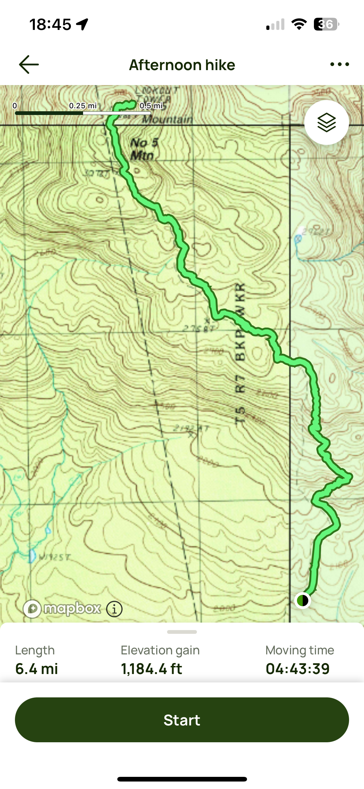 The Bigelows at left, Sugarloaf (I’m pretty sure) at right. 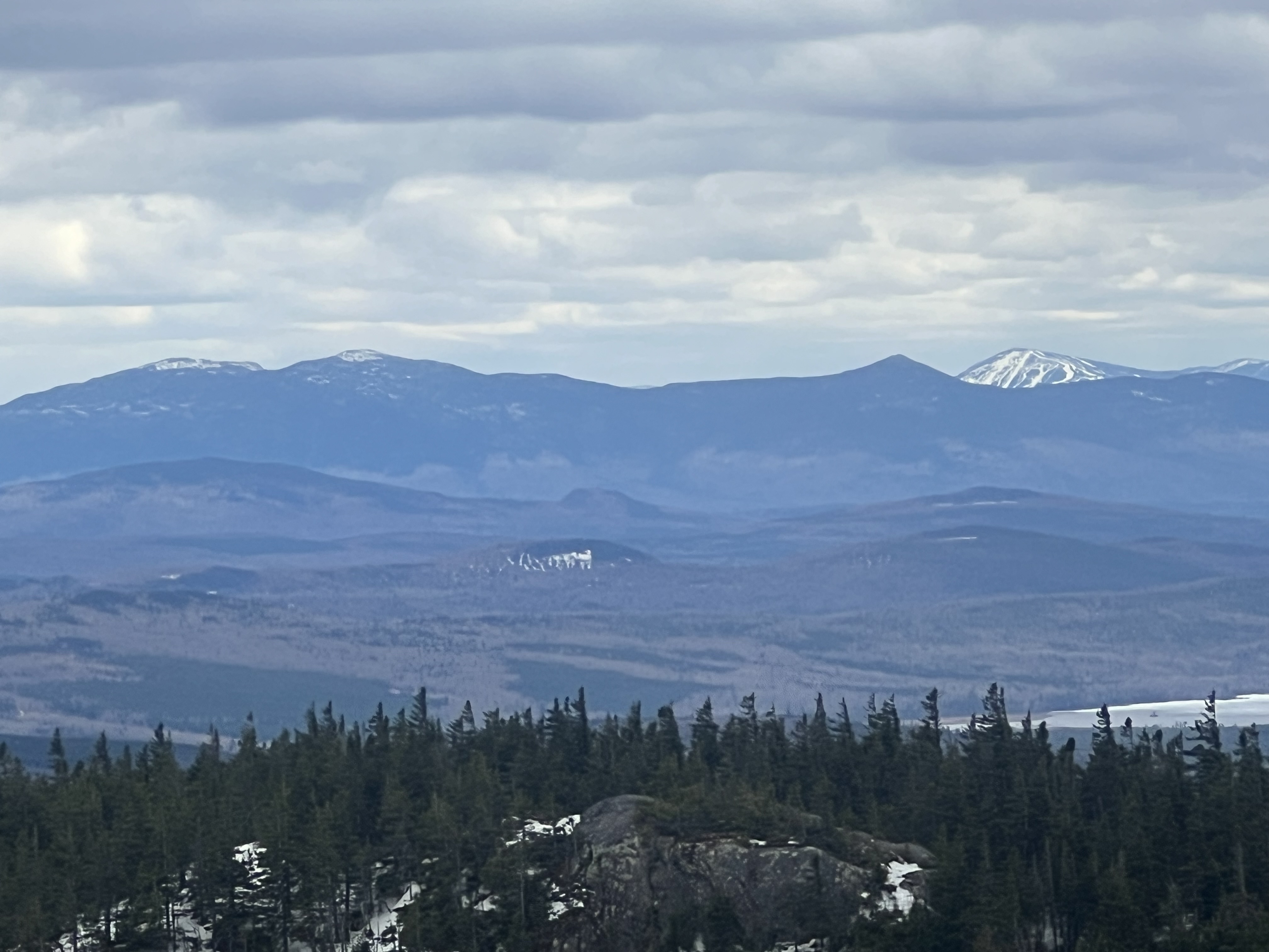 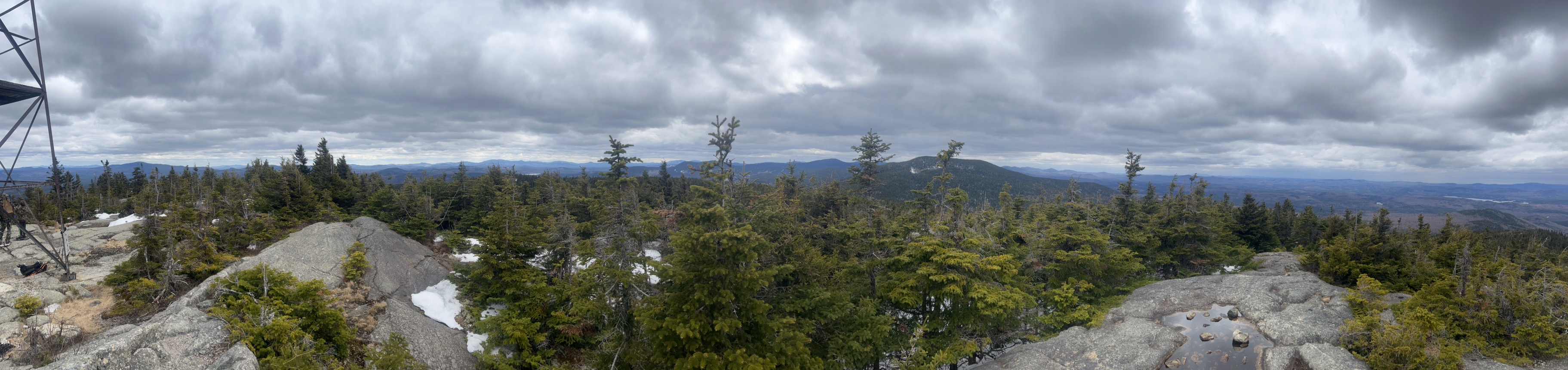 Looking northerly toward Attean Pond with its bunch of small islands. Jackman itself is just on the other side of it. 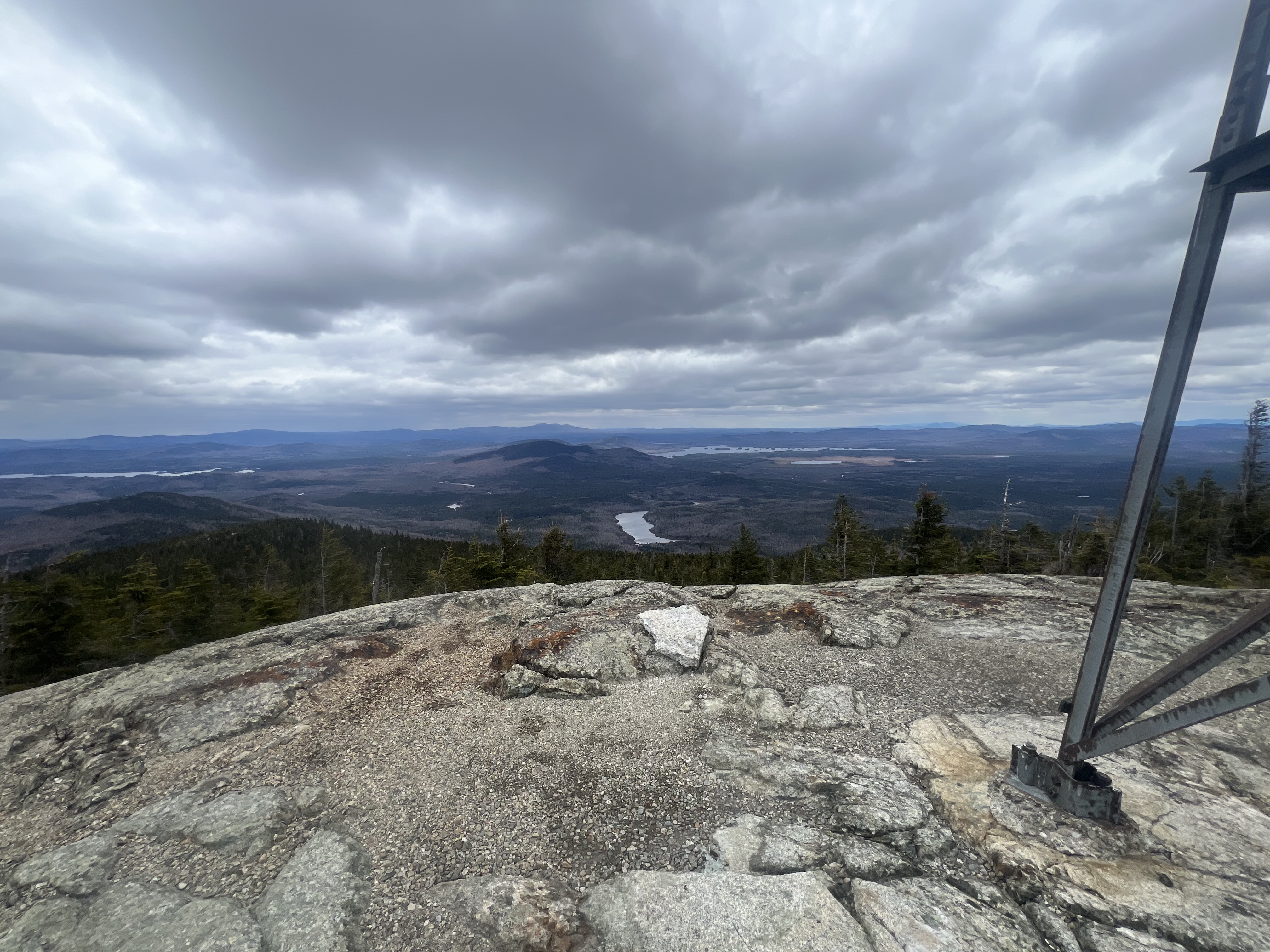
|

|
Nice thread! This was from last month's hike at Lake Catherine Dam Mountain Trail was partially blocked by a downed tree, but Falls Branch Trail and Horseshoe Mountain Trail were open and great too! Attached File |
|
Haven’t hiked in about 3 months. I went up Roger’s Rock Friday, there are nice views of the northern end of Lake George (NY). This summit was named after the British Ranger Officer Robert Rogers from colonial times. Today I hiked to the summit of Killington (VT), where I was surprised to see hundreds of skiers using one trail that still had snow. They weren’t skiing near the top, so I was able to enjoy a summit beer in peace. The weather was beautiful and so were the views. Attached File Attached File Attached File Attached File Attached File |
"anarcho-tyranny"—They refuse to control real criminals so They control the innocent.
|
Since hiking Killington, I've been out logging some miles. 2 sections of the Northville-Placid Trail, each about 13-14 miles. 7-10-24 - Mt. Cabot in NH 7-12-24 - Old Speck in ME 7-20-24 - Abraham, Spaulding and Sugarloaf in ME 7-22-24 - Mt. Flume and Mt. Liberty in NH for the last two hiking days, the weather was brilliant, but warm. I sweated A LOT. Don't forget your electrolytes, people. I ascended the Flume Slide trail, which when you get to the slide, is about 1500 feet of gain in about a half mile. Attached File Attached File |
"anarcho-tyranny"—They refuse to control real criminals so They control the innocent.
|
Originally Posted By ADKRebel: Back in NH…hiked Willey, Field and Tom, with no views on Thursday. Hiked down to the Zealand Hut via the A-Z trail and Friday traversed over Zealand and The Bonds to Lincoln Woods. Amazing views. If you have a chance you should hike Mt Chocorua in NH. It’s purported to be the 2nd most photographed mountain in the world, after Mt Fuji IIRC, due to its distinctive peak. (Not my pic.) 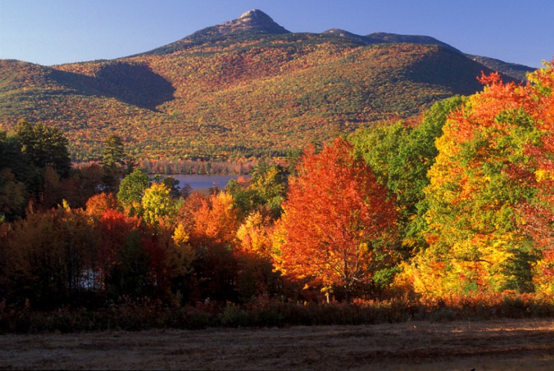 The best route up IMO is to start at Piper trailhead, then at about mile 0.6 turn left onto Weetamoo Trail. At the end of Weetamoo turn right onto Hammond Tr, then take Liberty Tr to the summit. You can go back down the same way or just take Piper Tr the whole way. Ammonoosuc Ravine Tr to Mt Monroe (4th highest NH48) is another great one, and when you get back to Ammo from the summit you’re only about 1.5 miles from Mt Washington via Crawford Path. You can take Jewell trail down, or take the Cog Railway if you’re beat LOL |
|
Originally Posted By ME2112: If you have a chance you should hike Mt Chocorua in NH. It’s purported to be the 2nd most photographed mountain in the world, after Mt Fuji IIRC, due to its distinctive peak. (Not my pic.) https://assets.trailspace.com/assets/6/7/1/4916849/IMG_1079.jpg The best route up IMO is to start at Piper trailhead, then at about mile 0.6 turn left onto Weetamoo Trail. At the end of Weetamoo turn right onto Hammond Tr, then take Liberty Tr to the summit. You can go back down the same way or just take Piper Tr the whole way. Ammonoosuc Ravine Tr to Mt Monroe (4th highest NH48) is another great one, and when you get back to Ammo from the summit you’re only about 1.5 miles from Mt Washington via Crawford Path. You can take Jewell trail down, or take the Cog Railway if you’re beat LOL I’ll probably tackle the Presi range next summer. |
| I was wrong. I didn’t wait until next year. I hiked up Ammo yesterday to Monroe, to Eisenhower, Pierce and Jackson. It was a perfect day on the range, and got pretty warm. I drank about 6 liters of water and am thankful for the huts for water fill ups. It is amazing and beautiful up there. |

|
Did about 6-7 miles at Sky Meadows state park in Fauquier Co with my son's Scout troop. I think we climbed a bit over a thousand feet and walked a section of the AT on the circuit we chose. Beautiful weather for the day. Also found some paw paw fruit to show the scouts. Attached File Attached File Attached File Attached File Attached File Attached File |

|
Cayuga Trail https://ithacatrails.org/site/Cayuga%20Trail Sunday afternoon was porchfest downtown https://www.porchfest.org/2024/06/09/porchfest-2024/ so the group didn't want to go too far astray for a hike. I'd originally scheduled another location but relented because I wasn't too happy with that spot and apparently no one else was either...... |
*post contains personal opinion only and should not be considered information released in an official capacity*
0110001101101100011010010110001101101011
0110001101101100011010010110001101101011
Joined:
Oct 2024
Posts:
28
EE: 100% (5)
 OH, USA

|
Well I don't know if it counts because there was no trail and it was some nameless hill about 7 thousand feet and I was packing a rifle and a varmit call.Attached File Attached File Attached File Attached File |
WILL ROGERS NEVER MET JOE BIDEN
|
Went to a place I call the whales head and slung my pack and a rifle and wandered around. Hiked to a formation I call the castle rock and just enjoyed the scenery.Attached File Attached File |
WILL ROGERS NEVER MET JOE BIDEN
|
Got back to the Presidential Range in the whites of NH. I went up Caps Ridge and sumitted Jefferson, Adams and Madison. Holy boulder fields! Descended Valley Way to a pre-positioned car. Attached File Attached File Attached File |
"anarcho-tyranny"—They refuse to control real criminals so They control the innocent.
|
I enjoyed and reached three more high peak summits in NH: Moosilauke, Lincoln and Lafayette. Attached File Attached File Attached File |
"anarcho-tyranny"—They refuse to control real criminals so They control the innocent.
|
Hiked Mt. Mansfield in Vermont yesterday. It was a little warm, but I had plenty of water with electrolytes added. Attached File Attached File Attached File |
"anarcho-tyranny"—They refuse to control real criminals so They control the innocent.
|
Originally Posted By ADKRebel: Hiked Mt. Mansfield in Vermont yesterday. It was a little warm, but I had plenty of water with electrolytes added. https://www.ar15.com/media/mediaFiles/58424/IMG_6769_jpeg-3602078.JPGhttps://www.ar15.com/media/mediaFiles/58424/IMG_6771_jpeg-3602079.JPGhttps://www.ar15.com/media/mediaFiles/58424/IMG_6773_jpeg-3602080.JPG Congrats. You're knocking it out |
*post contains personal opinion only and should not be considered information released in an official capacity*
0110001101101100011010010110001101101011
0110001101101100011010010110001101101011
|
My wife and I hiked a few miles today in the Excelsior Range.Attached File Attached File Attached File Top photo looking at 11000ft Mount Grant in the Wassuk Range. Middle photo looking at 13000ft Boundary Peak. Bottom photo typical boulder pile of the Excelsiors. |
WILL ROGERS NEVER MET JOE BIDEN
|
I haven’t really done any hiking all summer due to my bad knee and a minor bout of Achilles tendinitis that I don’t want to turn major. Plus it seemed all my good days were hot as hell - which when hiking means over 70F and sunny. I’m really a winter person. But Saturday afternoon I told myself I was summiting something and camping, so I headed about 15 miles south to 1100+m Coburn Mountain. The trail is only about 2 miles long, and is actually a snowmobile trail that goes to the summit - the highest groomed trail in the state (I don’t think they groom to the summit.) There are 2 radio repeaters on the mountain and the trail is kept good enough for SXSs to use it. I’d take my Jeep up it without any hesitation. But after about a mile there’s a goat path that cuts about 1/2 mile off, mainly because of how steep it is. But it’s fun!  Coburn Mtn #5  Coburn Mtn #7  Coburn Mtn #9  Coburn Mtn #10 I was trying out my new Exped Ultra 5R sleeping pad on this trip and it didn’t do very well. After I got the tent up (SMD Lunar Orbiter) I slid the pad into my Thermarest Trekker chair and relaxed, at least until I noticed the pad was deflating. As rocky as the summit is it probably wasn’t a very good idea to put the pad directly on the ground and sit on it. So I had a pretty miserable night, with the pad being completely deflated after about 45 minutes. At first I’d reinflate it as soon as I could feel the rocks, but ended up just dealing with the rocks and only inflating it when I got up to take a leak. I don’t sleep very well at home so the lack of sleep (maybe 3 hours in all) didn’t really bother me. But all in all I enjoyed it, my tent handled the wind very well, and the star of the trip was my Big Sky International Deluxe Pillow. It didn’t move, didn’t let/make my head slip off, and was at least as comfortable as my pillows at home. I ordered another Ultra 5R, as well as an Exped CCF folding pad to go under it for protection, and a NEMO Moonlight Elite chair so my pad won’t have to do double duty. I plan on going back out again in a couple weeks, to a different mountain. |
|
Hiked Boundary Bald Mtn just outside Jackman ME on Saturday and camped on the summit. I’d originally planned to make it a 2-nighter and try to find a route to the 2 sub-peaks, but there was not a usable drop of water anywhere and I’d only brought 2l with me (along with my BeFree.) So I headed back down late yesterday morning. The trip down always takes me forever due to bad knees and just generally being the least graceful person on the planet. But it was only a 2-“fucker!” descent so I can’t really complain. The knees feel pretty good today, though whether they’re actually good or the pain nerve endings are dead I don’t know. I used my SMD Lunar Orbiter again, it was pretty windy the whole time with very frequent gusts reaching about 25mph and due to the space available I had to orient the tent with the wind hitting it about 30° off broadside. That pointed out what I think is a flaw in the guy lines. My replacement Exped Ultra 5R hasn’t showed up yet because FedEx so I used my NEMO Tensor Trail for the 2nd time. It’s not as comfortable as the Exped but did well enough. It stayed inflated, after all. Temps were forecast to drop low enough that I wasn’t sure my Western Mountaineering EverLite would be sufficient, so I brought my Sierra Designs Mobile Mummy 800 sleeping bag. With an EN comfort rating of 27F it wasn’t too warm due to the 2-way center zip and armholes. A Granite Gear Crown2 60 did pack duty. Such a comfortable pack, more comfy than my Osprey Atmos 50 AG and that’s saying a lot. (That one is for sale if anyone is interested! I need to downsize bigtime.) A bunch of videos I shot on the trip. 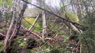 Huge glacial erratic  The primitive trail up Boundary Bald Mtn  First view near treeline  Setting up camp  Islands in a puffy sea.  The pack I used Here’s what happened with my Lunar Solo tent. I noticed it while inside the tent packing stuff up. The video is for a review I left on the SMD website. 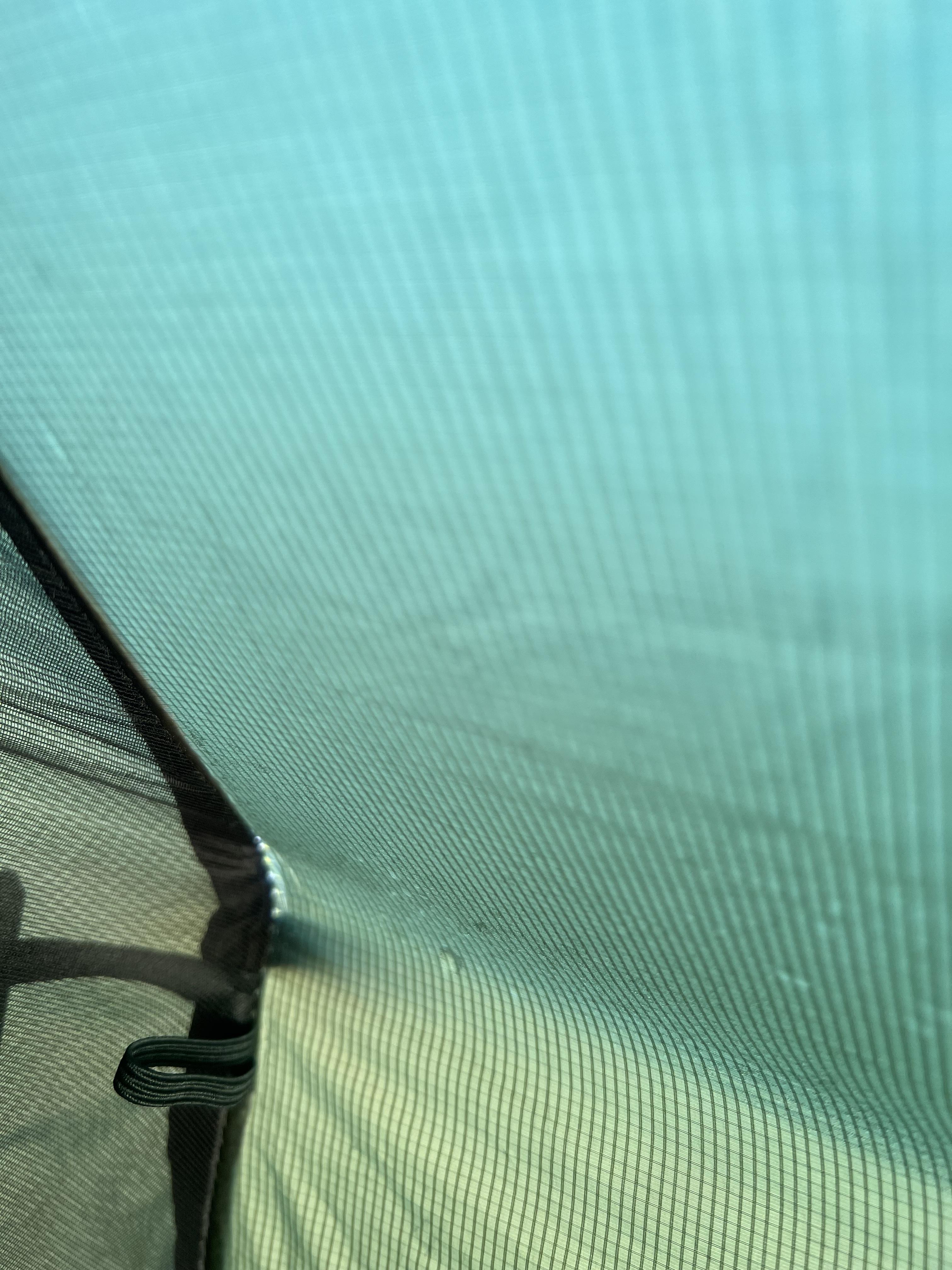 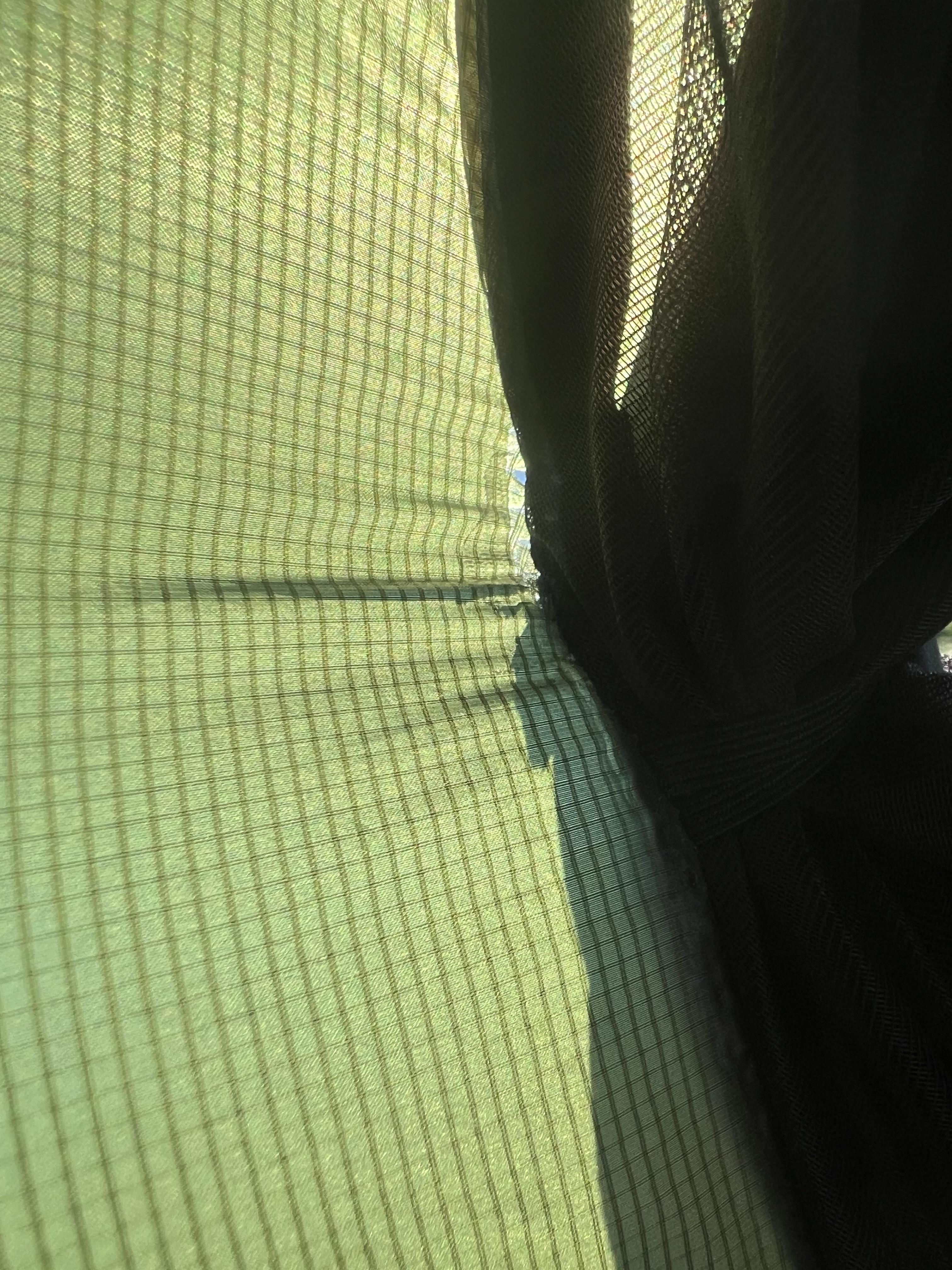 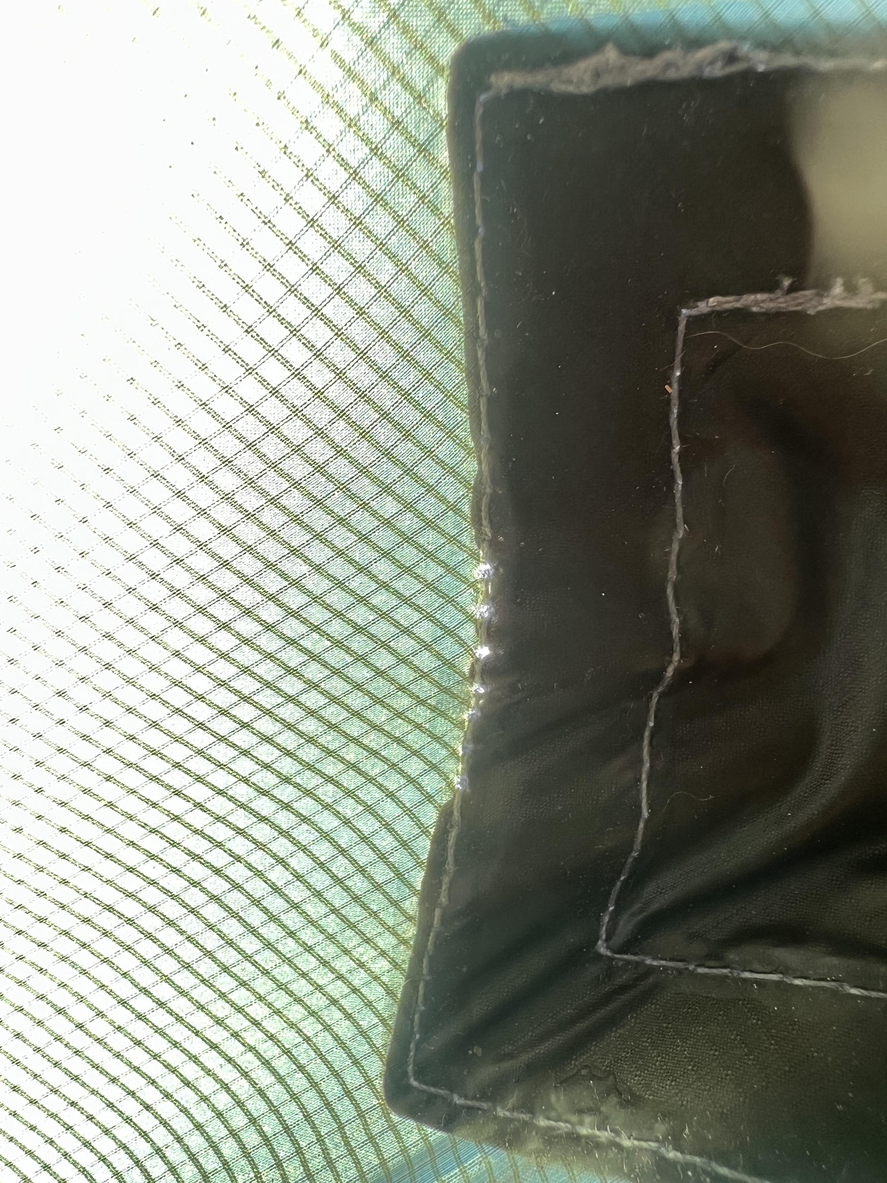  Six Moon Designs Lunar Orbiter tent problems |

|
8/29 - Cannon, N & S Kinsman 8/30 - Osceola and East Osceola. 93/NE115 Attached File |
"anarcho-tyranny"—They refuse to control real criminals so They control the innocent.

Member
Joined:
Oct 2024
Posts:
1489
EE: 0% (0)
NH, USA
|
Galehead, South and North Twins 8/22. Franconia Ridge from South Twin. Garfield on the right. Attached File The Twins from Galehead. Attached File |
Supreme Exalted Ruler, Republic of One Lane Bridge.
|
Attached File Attached File Just took a rifle and went out wandering in some local volcanic hills yesterday. |
WILL ROGERS NEVER MET JOE BIDEN
Wife and I walked around 4 miles in a canyon before lunch. Gained several hundred feet in elevation. Saw a few birds, lizzards and chipmonks and 3 pronghorns and 5 mustangs and no humans. Good start to the day. Saw the state highway department digging out the culverts from a flash flood on the road home. They dug up a county water line and now there is a boil water order. "Call befor you dig" ⁶ ⁶
|
WILL ROGERS NEVER MET JOE BIDEN
|
Took a little walk into some bighorn country. Saw three pronghorns and three bighorn ewes through the binocculars. Waited for them to move on then hiked down to check on the guzzler. That's it below in tye second picture.took pictures of the ewes but the were too far away. Attached File Attached File Attached File |
WILL ROGERS NEVER MET JOE BIDEN
What did you do today hiking? (Page 2 of 2)
Join the Community
Your next conversation starts here.
Create your free account to join discussions, share your experience, save topics, and connect with the AR15.COM community.
- Join discussions
- Follow topics and replies
- Connect with fellow enthusiasts
Already a member? Sign in
Stay informed by subscribing to our Newsletter